Distance from Barco, North Carolina to Valhalla, North Carolina
The driving distance from Barco, North Carolina to Valhalla, North Carolina is 60.6 mi (97.5 km)
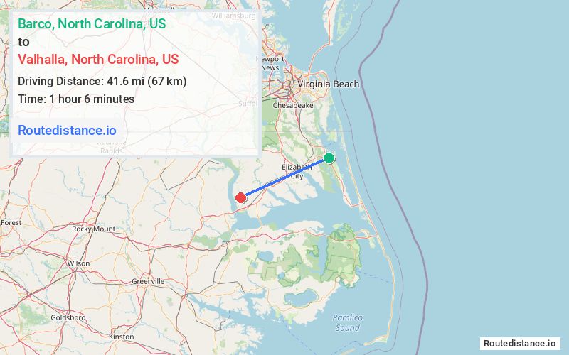
The straight-line (air) distance is approximately 25.9 mi (41.6 km)
Estimated travel time by road is 1 hour 14 minutes
We found 2 routes between Barco and Valhalla.
Available Routes
Route Directions
Take US-158 W, NC Hwy 343 N and Turnpike Rd to Bethany Church Rd in Belvidere
Continue on Bethany Church Rd to NC-37 N
Take Drinking Hole Rd to County Line Rd
Follow County Line Rd to Center Hill Rd in Chowan County
Continue on Sandy Ridge Rd. Take Rocky Hock Rd to NC-32 N
Route Directions
Journey Details
Traveling from Barco, North Carolina to Valhalla, North Carolina covers 50.8 miles (82 km) in a west direction. This mixed highways and local roads, moderate route typically takes 59 minutes under normal conditions.
Drivers have 2 route options between these locations (51-61 miles / 82-97 km). The primary route shown here saves 16 minutes compared to alternatives.
Journey Waypoints
Barco
Starting Point
Valhalla
Destination
Route Map Image