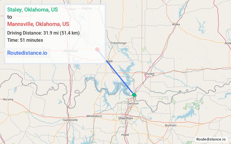
Distance from Staley, Oklahoma to Mannsville, Oklahoma
The driving distance from Staley, Oklahoma to Mannsville, Oklahoma is 55 mi (88.5 km)
The straight-line (air) distance is approximately 19.8 mi (31.9 km)
Estimated travel time by road is 56 minutes
We found 2 routes between Staley and Mannsville.
Available Routes
Route Directions
Follow US-69 N/US-75 N to OK-78 N/N 1st Ave in Durant. Take the OK-48 N/OK-78 N exit from US-69 N/US-75 N
Follow OK-78 N and OK-199 W to E Main St/Plaza in Madill
Follow N 1st St and US-177 N to Grand Ave S in Mannsville
Route Directions
Journey Details
Traveling from Staley, Oklahoma to Mannsville, Oklahoma covers 42.5 miles (68 km) in a northwest direction. This mixed highways and local roads, moderate route typically takes 50 minutes under normal conditions.
Drivers have 2 route options between these locations (43-55 miles / 68-89 km). The primary route shown here saves 6 minutes compared to alternatives.
The route features scenic views. During midday weekday travel, expect lighter midday traffic with average speeds around 48 mph (77 km/h) .
Journey Waypoints
Staley
Starting Point
Mannsville
Destination
Route Map Image