Distance to and from Adair, Kentucky
Adair, KY 42351
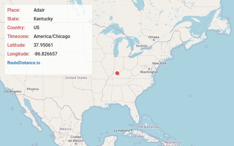
Adair
Kentucky
US
America/Chicago
Location Information
-
Full AddressAdair, KY 42351
-
Coordinates37.9506102, -86.8266569
-
LocationAdair , Kentucky , US
-
TimezoneAmerica/Chicago
-
Current Local Time12:02:28 PM America/ChicagoSaturday, May 3, 2025
-
Page Views0
Directions to Nearest Cities
About Adair
Adair is an unincorporated community in Hancock County, Kentucky United States. The community is centered around Kentucky Route 1605. It is in the northern section of the county.
Adair had a post office established on May 7, 1890. It was closed on May 15, 1956.
Nearby Places
Found 10 places within 50 miles

Petri
2.1 mi
3.4 km
Petri, KY 42348
Get directions

Tell City
3.2 mi
5.1 km
Tell City, IN
Get directions

Troy
3.5 mi
5.6 km
Troy, IN
Get directions

Lewisport
4.2 mi
6.8 km
Lewisport, KY 42351
Get directions

Cannelton
5.2 mi
8.4 km
Cannelton, IN 47520
Get directions

Hawesville
5.2 mi
8.4 km
Hawesville, KY 42348
Get directions
Schley
7.0 mi
11.3 km
Schley, Huff Township, IN 47531
Get directions
Newtonville
7.3 mi
11.7 km
Newtonville, IN
Get directions
Waitman
7.4 mi
11.9 km
Waitman, KY 42351
Get directions

New Boston
7.5 mi
12.1 km
New Boston, IN 47531
Get directions
Petri
2.1 mi
3.4 km
Petri, KY 42348
Tell City
3.2 mi
5.1 km
Tell City, IN
Troy
3.5 mi
5.6 km
Troy, IN
Lewisport
4.2 mi
6.8 km
Lewisport, KY 42351
Cannelton
5.2 mi
8.4 km
Cannelton, IN 47520
Hawesville
5.2 mi
8.4 km
Hawesville, KY 42348
Schley
7.0 mi
11.3 km
Schley, Huff Township, IN 47531
Newtonville
7.3 mi
11.7 km
Newtonville, IN
Waitman
7.4 mi
11.9 km
Waitman, KY 42351
New Boston
7.5 mi
12.1 km
New Boston, IN 47531
Location Links
Local Weather
Weather Information
Coming soon!
Location Map
Static map view of Adair, Kentucky
Browse Places by Distance
Places within specific distances from Adair
Short Distances
Long Distances
Click any distance to see all places within that range from Adair. Distances shown in miles (1 mile ≈ 1.61 kilometers).