Distance to Adams Grove, Virginia

Calculating Your Route
Just a moment while we process your request...
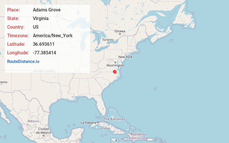
Location Information
-
Full AddressAdams Grove, VA 23847
-
Coordinates36.693611, -77.385414
-
LocationAdams Grove , Virginia , US
-
TimezoneAmerica/New_York
-
Current Local Time6:56:22 PM America/New_YorkTuesday, June 17, 2025
-
Page Views0
About Adams Grove
Adams Grove is an unincorporated community in western Southampton County, Virginia, United States, off Route 615. It lies at an elevation of 89 feet. Its ZIP code is 23844.
The Norfolk, Franklin and Danville Railway runs through the hamlet.
Nearby Places
Found 10 places within 50 miles

Green Plain
3.7 mi
6.0 km
Green Plain, VA 23847
Get directions
Drewryville
4.6 mi
7.4 km
Drewryville, VA
Get directions
Harrells Mill
5.6 mi
9.0 km
Harrells Mill, VA 23897
Get directions
Rivers Mill
5.7 mi
9.2 km
Rivers Mill, VA 23829
Get directions
Claresville
6.1 mi
9.8 km
Claresville, VA 23847
Get directions
Gray
7.5 mi
12.1 km
Gray, VA 23897
Get directions

Emporia
8.7 mi
14.0 km
Emporia, VA 23847
Get directions
Hilda
9.3 mi
15.0 km
Hilda, VA 23897
Get directions
Jarratt
9.5 mi
15.3 km
Jarratt, VA 23867
Get directions
Worrell
9.6 mi
15.4 km
Worrell, VA 23829
Get directions
Location Links
Local Weather
Weather Information
Coming soon!
Location Map
Static map view of Adams Grove, Virginia
Browse Places by Distance
Places within specific distances from Adams Grove
Short Distances
Long Distances
Click any distance to see all places within that range from Adams Grove. Distances shown in miles (1 mile ≈ 1.61 kilometers).