Distance to Aetna, Arkansas

Calculating Your Route
Just a moment while we process your request...
Location Information
-
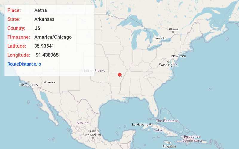
Full AddressAetna, AR 72521
-
Coordinates35.93541, -91.438965
-
LocationAetna , Arkansas , US
-
TimezoneAmerica/Chicago
-
Current Local Time10:56:37 PM America/ChicagoTuesday, June 17, 2025
-
Page Views0
About Aetna
Aetna is an unincorporated community in Sharp County, Arkansas, United States. It lies at an elevation of 404 feet.
Nearby Places
Found 10 places within 50 miles

Shelbyville
2.7 mi
4.3 km
Shelbyville, AR 72521
Get directions
Cedar Grove
4.6 mi
7.4 km
Cedar Grove, AR 72579
Get directions
Calamine
5.7 mi
9.2 km
Calamine, AR 72466
Get directions

Cave City
6.1 mi
9.8 km
Cave City, AR 72521
Get directions
Strawberry
6.9 mi
11.1 km
Strawberry, AR 72469
Get directions
Hickory Valley
7.1 mi
11.4 km
Hickory Valley, AR 72521
Get directions
Jesup
8.0 mi
12.9 km
Jesup, AR 72469
Get directions
Charlotte
8.2 mi
13.2 km
Charlotte, AR
Get directions
Saffell
8.4 mi
13.5 km
Saffell, AR 72572
Get directions
Maxville
8.6 mi
13.8 km
Maxville, AR 72521
Get directions
Location Links
Local Weather
Weather Information
Coming soon!
Location Map
Static map view of Aetna, Arkansas
Browse Places by Distance
Places within specific distances from Aetna
Short Distances
Long Distances
Click any distance to see all places within that range from Aetna. Distances shown in miles (1 mile ≈ 1.61 kilometers).