Distance to Agate, Colorado

Calculating Your Route
Just a moment while we process your request...
Location Information
-
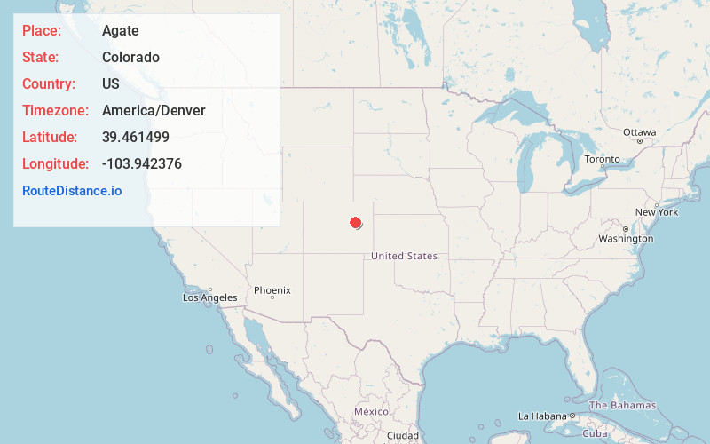
Full AddressAgate, CO 80101
-
Coordinates39.4614985, -103.9423755
-
LocationAgate , Colorado , US
-
TimezoneAmerica/Denver
-
Current Local Time3:33:41 PM America/DenverTuesday, June 17, 2025
-
Page Views0
About Agate
Agate is an unincorporated community and U.S. Post Office in Elbert County, Colorado, United States. The ZIP Code of the Agate Post Office is 80101.


Nearby Places
Found 10 places within 50 miles

Deer Trail
11.9 mi
19.2 km
Deer Trail, CO 80105
Get directions

Bijou
13.9 mi
22.4 km
Bijou, CO 80101
Get directions

Peoria
17.8 mi
28.6 km
Peoria, CO 80103
Get directions

Limon
19.1 mi
30.7 km
Limon, CO 80828
Get directions

Matheson
20.2 mi
32.5 km
Matheson, CO
Get directions
Comanche Creek
22.7 mi
36.5 km
Comanche Creek, CO 80136
Get directions

Byers
22.8 mi
36.7 km
Byers, CO 80103
Get directions

Simla
23.4 mi
37.7 km
Simla, CO 80835
Get directions

Ramah
26.4 mi
42.5 km
Ramah, CO 80832
Get directions

Genoa
26.8 mi
43.1 km
Genoa, CO 80818
Get directions
Location Links
Local Weather
Weather Information
Coming soon!
Location Map
Static map view of Agate, Colorado
Browse Places by Distance
Places within specific distances from Agate
Short Distances
Long Distances
Click any distance to see all places within that range from Agate. Distances shown in miles (1 mile ≈ 1.61 kilometers).