Distance to Matheson, Colorado

Calculating Your Route
Just a moment while we process your request...
Location Information
-
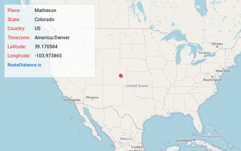
Full AddressMatheson, CO
-
Coordinates39.1705842, -103.9738648
-
LocationMatheson , Colorado , US
-
TimezoneAmerica/Denver
-
Current Local Time12:35:36 AM America/DenverSaturday, June 21, 2025
-
Page Views0
About Matheson
Matheson is a census-designated place and post office in and governed by Elbert County, Colorado, United States. The CDP is a part of the Denver–Aurora–Lakewood, CO Metropolitan Statistical Area. The Matheson post office has the ZIP Code 80830.


Nearby Places
Found 10 places within 50 miles

Simla
6.2 mi
10.0 km
Simla, CO 80835
Get directions

Ramah
10.8 mi
17.4 km
Ramah, CO 80832
Get directions

Limon
16.4 mi
26.4 km
Limon, CO 80828
Get directions

Calhan
19.7 mi
31.7 km
Calhan, CO 80808
Get directions

Genoa
26.4 mi
42.5 km
Genoa, CO 80818
Get directions

Hugo
27.1 mi
43.6 km
Hugo, CO
Get directions

Kiowa
28.9 mi
46.5 km
Kiowa, CO 80117
Get directions

Elbert
30.4 mi
48.9 km
Elbert, CO 80106
Get directions

Deer Trail
30.9 mi
49.7 km
Deer Trail, CO 80105
Get directions

Ellicott
31.9 mi
51.3 km
Ellicott, CO 80808
Get directions
Location Links
Local Weather
Weather Information
Coming soon!
Location Map
Static map view of Matheson, Colorado
Browse Places by Distance
Places within specific distances from Matheson
Short Distances
Long Distances
Click any distance to see all places within that range from Matheson. Distances shown in miles (1 mile ≈ 1.61 kilometers).