Distance to Airedale, Kentucky

Calculating Your Route
Just a moment while we process your request...
Location Information
-
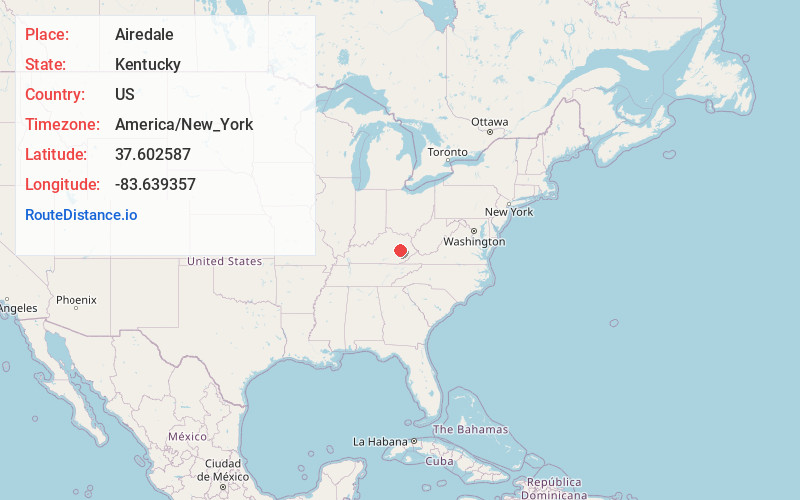
Full AddressAiredale, KY 41311
-
Coordinates37.6025867, -83.6393566
-
LocationAiredale , Kentucky , US
-
TimezoneAmerica/New_York
-
Current Local Time9:53:50 AM America/New_YorkThursday, July 3, 2025
-
Page Views0
About Airedale
Airedale is an unincorporated community in Lee County, Kentucky, United States.
Nearby Places
Found 10 places within 50 miles

Maloney
2.4 mi
3.9 km
Maloney, KY 41311
Get directions
Vada
3.0 mi
4.8 km
Vada, KY 41311
Get directions
Canyon Falls
3.8 mi
6.1 km
Canyon Falls, KY 41311
Get directions

Beattyville
4.3 mi
6.9 km
Beattyville, KY 41311
Get directions
Fillmore
4.9 mi
7.9 km
Fillmore, KY 41311
Get directions
Lone
5.4 mi
8.7 km
Lone, KY 41311
Get directions
Congleton
5.5 mi
8.9 km
Congleton, KY 41311
Get directions
Lower Buffalo
5.8 mi
9.3 km
Lower Buffalo, KY 41311
Get directions

Zoe
5.9 mi
9.5 km
Zoe, KY 41397
Get directions
White Ash
6.2 mi
10.0 km
White Ash, KY 41311
Get directions
Location Links
Local Weather
Weather Information
Coming soon!
Location Map
Static map view of Airedale, Kentucky
Browse Places by Distance
Places within specific distances from Airedale
Short Distances
Long Distances
Click any distance to see all places within that range from Airedale. Distances shown in miles (1 mile ≈ 1.61 kilometers).