Distance to Akaska, South Dakota

Calculating Your Route
Just a moment while we process your request...
Location Information
-
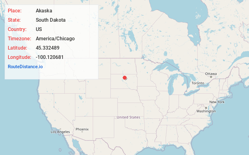
Full AddressAkaska, SD 57472
-
Coordinates45.332489, -100.1206809
-
LocationAkaska , South Dakota , US
-
TimezoneAmerica/Chicago
-
Current Local Time4:25:06 AM America/ChicagoWednesday, June 18, 2025
-
Page Views0
About Akaska
Akaska is a town in Walworth County, South Dakota, United States. The population was 77 at the 2020 census. The community name derives from a Sioux word meaning "uncertain".


Nearby Places
Found 10 places within 50 miles

Selby
12.8 mi
20.6 km
Selby, SD 57472
Get directions

Glenham
15.7 mi
25.3 km
Glenham, SD 57631
Get directions

Java
16.4 mi
26.4 km
Java, SD 57452
Get directions

Hoven
17.8 mi
28.6 km
Hoven, SD 57450
Get directions

Mobridge
20.5 mi
33.0 km
Mobridge, SD 57601
Get directions

Gettysburg
23.6 mi
38.0 km
Gettysburg, SD 57442
Get directions

Bowdle
24.1 mi
38.8 km
Bowdle, SD 57428
Get directions

Lebanon
24.9 mi
40.1 km
Lebanon, SD 57455
Get directions

Mound City
27.3 mi
43.9 km
Mound City, SD 57646
Get directions
La Plant
28.9 mi
46.5 km
La Plant, SD
Get directions
Location Links
Local Weather
Weather Information
Coming soon!
Location Map
Static map view of Akaska, South Dakota
Browse Places by Distance
Places within specific distances from Akaska
Short Distances
Long Distances
Click any distance to see all places within that range from Akaska. Distances shown in miles (1 mile ≈ 1.61 kilometers).