Distance to Allendale, Indiana

Calculating Your Route
Just a moment while we process your request...
Location Information
-
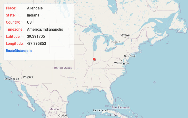
Full AddressAllendale, IN 47802
-
Coordinates39.3917047, -87.3958531
-
LocationAllendale , Indiana , US
-
TimezoneAmerica/Indianapolis
-
Page Views0
About Allendale
Allendale is an unincorporated community in south central Vigo County, Indiana, in Honey Creek Township. It is part of the Terre Haute Metropolitan Statistical Area.
Nearby Places
Found 10 places within 50 miles

Woodgate
0.7 mi
1.1 km
Woodgate, IN 47802
Get directions
Southwood
0.8 mi
1.3 km
Southwood, IN 47802
Get directions
Youngstown
2.2 mi
3.5 km
Youngstown, IN 47802
Get directions

Vigo County
2.2 mi
3.5 km
Vigo County, IN
Get directions
Keller
4.4 mi
7.1 km
Keller, IN 47802
Get directions

Riley
5.1 mi
8.2 km
Riley, IN
Get directions
Prairieton Township
5.1 mi
8.2 km
Prairieton Township, IN 47802
Get directions

Terre Haute
5.2 mi
8.4 km
Terre Haute, IN
Get directions

Deming Park
5.6 mi
9.0 km
Deming Park, Terre Haute, IN 47803
Get directions

Pimento
5.8 mi
9.3 km
Pimento, IN 47866
Get directions
Location Links
Local Weather
Weather Information
Coming soon!
Location Map
Static map view of Allendale, Indiana
Browse Places by Distance
Places within specific distances from Allendale
Short Distances
Long Distances
Click any distance to see all places within that range from Allendale. Distances shown in miles (1 mile ≈ 1.61 kilometers).