Distance to Almartha, Missouri

Calculating Your Route
Just a moment while we process your request...
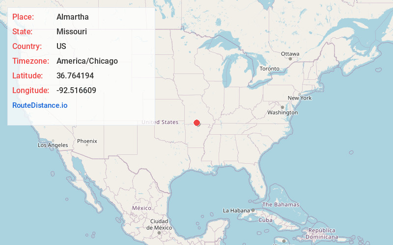
Location Information
-
Full AddressAlmartha, MO 65773
-
Coordinates36.764194, -92.516609
-
LocationAlmartha , Missouri , US
-
TimezoneAmerica/Chicago
-
Current Local Time11:12:12 PM America/ChicagoTuesday, June 17, 2025
-
Page Views0
About Almartha
Almartha is an unincorporated community in northern Ozark County, Missouri, United States. It is located approximately thirteen miles north of Gainesville and four miles southeast of Wasola on Route 95. The village is located in a valley on a tributary of Spring Creek. Several homes are located there.
Nearby Places
Found 10 places within 50 miles

Wasola
3.9 mi
6.3 km
Wasola, MO 65773
Get directions
Willhoit
5.6 mi
9.0 km
Willhoit, MO 65773
Get directions
Girdner
7.3 mi
11.7 km
Girdner, Walls Township, MO 65755
Get directions
Nottinghill
7.4 mi
11.9 km
Nottinghill, MO 65762
Get directions
Sweden
7.9 mi
12.7 km
Sweden, Brown Township, MO 65608
Get directions
Squires
8.5 mi
13.7 km
Squires, MO 65608
Get directions
Bertha
8.9 mi
14.3 km
Bertha, Jackson Township, MO 65608
Get directions

Hammond
9.4 mi
15.1 km
Hammond, Thornfield Township, MO 65762
Get directions
Vera Cruz
10.4 mi
16.7 km
Vera Cruz, McMurtrey Township, MO 65717
Get directions

Gainesville
12.2 mi
19.6 km
Gainesville, MO 65655
Get directions
Location Links
Local Weather
Weather Information
Coming soon!
Location Map
Static map view of Almartha, Missouri
Browse Places by Distance
Places within specific distances from Almartha
Short Distances
Long Distances
Click any distance to see all places within that range from Almartha. Distances shown in miles (1 mile ≈ 1.61 kilometers).