Distance to Almy, Wyoming

Calculating Your Route
Just a moment while we process your request...
Location Information
-
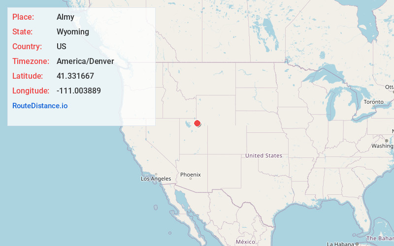
Full AddressAlmy, WY 82930
-
Coordinates41.331667, -111.003889
-
LocationAlmy , Wyoming , US
-
TimezoneAmerica/Denver
-
Current Local Time2:07:13 AM America/DenverWednesday, June 18, 2025
-
Page Views0
About Almy
Almy was a coal mining camp in Uinta County, Wyoming, United States, near the town of Evanston. In 1881, an explosion killed 38 miners in the Central Pacific Mine, marking the first mine explosion west of the Mississippi River.


Nearby Places
Found 10 places within 50 miles

Bear River
3.8 mi
6.1 km
Bear River, WY 82930
Get directions

Evanston
4.9 mi
7.9 km
Evanston, WY 82930
Get directions

Woodruff
15.5 mi
24.9 km
Woodruff, UT 84086
Get directions

Aspen
15.7 mi
25.3 km
Aspen, WY 82930
Get directions
Spring Valley Mine
16.7 mi
26.9 km
Spring Valley Mine, Wyoming 82930
Get directions

Castle Rock
18.4 mi
29.6 km
Castle Rock, UT 84017
Get directions

Piedmont
21.1 mi
34.0 km
Piedmont, WY
Get directions

Randolph
24.9 mi
40.1 km
Randolph, UT 84064
Get directions
Upton
28.1 mi
45.2 km
Upton, UT 84017
Get directions
Carter Cedars
28.5 mi
45.9 km
Carter Cedars, WY
Get directions
Location Links
Local Weather
Weather Information
Coming soon!
Location Map
Static map view of Almy, Wyoming
Browse Places by Distance
Places within specific distances from Almy
Short Distances
Long Distances
Click any distance to see all places within that range from Almy. Distances shown in miles (1 mile ≈ 1.61 kilometers).