Distance to Upton, Utah

Calculating Your Route
Just a moment while we process your request...
Location Information
-
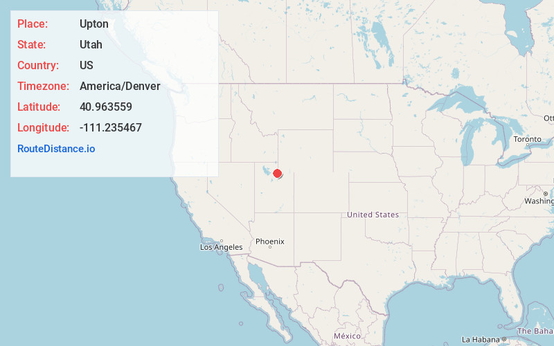
Full AddressUpton, UT 84017
-
Coordinates40.9635588, -111.2354673
-
LocationUtah , US
-
TimezoneAmerica/Denver
-
Current Local Time8:39:15 PM America/DenverFriday, June 20, 2025
-
Page Views0
Nearby Places
Found 10 places within 50 miles

Coalville
9.1 mi
14.6 km
Coalville, UT 84017
Get directions

Hoytsville
9.8 mi
15.8 km
Hoytsville, UT 84017
Get directions

Echo
10.8 mi
17.4 km
Echo, UT
Get directions

Wanship
13.8 mi
22.2 km
Wanship, UT 84017
Get directions

Henefer
14.2 mi
22.9 km
Henefer, UT
Get directions

Peoa
17.4 mi
28.0 km
Peoa, UT
Get directions

Oakley
17.5 mi
28.2 km
Oakley, UT
Get directions

Taggarts
19.7 mi
31.7 km
Taggarts, UT 84050
Get directions
Marion
19.9 mi
32.0 km
Marion, UT 84036
Get directions

Silver Summit
20.1 mi
32.3 km
Silver Summit, UT 84098
Get directions
Location Links
Local Weather
Weather Information
Coming soon!
Location Map
Static map view of Upton, Utah
Browse Places by Distance
Places within specific distances from Upton
Short Distances
Long Distances
Click any distance to see all places within that range from Upton. Distances shown in miles (1 mile ≈ 1.61 kilometers).