Distance to Castle Rock, Utah

Calculating Your Route
Just a moment while we process your request...
Location Information
-
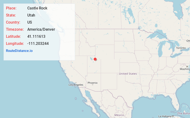
Full AddressCastle Rock, UT 84017
-
Coordinates41.1116126, -111.2032443
-
LocationUtah , US
-
TimezoneAmerica/Denver
-
Current Local Time11:01:51 PM America/DenverThursday, June 12, 2025
-
Page Views0
About Castle Rock
Castle Rock, also known as "Frenchies" is a ghost town in Summit County, Utah, United States. The location is currently the site of an automotive junk yard. Some buildings, such as the town's gas station, still stand.


Nearby Places
Found 10 places within 50 miles

Upton
10.4 mi
16.7 km
Upton, UT 84017
Get directions

Echo
15.5 mi
24.9 km
Echo, UT
Get directions

Evanston
16.5 mi
26.6 km
Evanston, WY 82930
Get directions

Henefer
16.7 mi
26.9 km
Henefer, UT
Get directions

Coalville
16.9 mi
27.2 km
Coalville, UT 84017
Get directions

Devils Slide
18.3 mi
29.5 km
Devils Slide, Utah 84050
Get directions
Hoytsville
18.8 mi
30.3 km
Hoytsville, UT 84017
Get directions

Taggarts
20.6 mi
33.2 km
Taggarts, UT 84050
Get directions

Bear River
21.0 mi
33.8 km
Bear River, WY 82930
Get directions

Wanship
23.3 mi
37.5 km
Wanship, UT 84017
Get directions
Location Links
Local Weather
Weather Information
Coming soon!
Location Map
Static map view of Castle Rock, Utah
Browse Places by Distance
Places within specific distances from Castle Rock
Short Distances
Long Distances
Click any distance to see all places within that range from Castle Rock. Distances shown in miles (1 mile ≈ 1.61 kilometers).