Distance to Alvarado, Minnesota

Calculating Your Route
Just a moment while we process your request...
Location Information
-
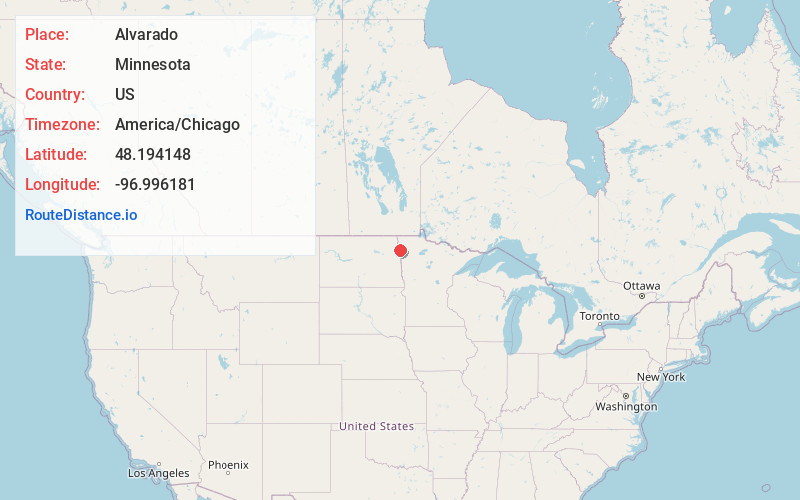
Full AddressAlvarado, MN 56710
-
Coordinates48.1941477, -96.9961813
-
LocationAlvarado , Minnesota , US
-
TimezoneAmerica/Chicago
-
Current Local Time4:39:21 PM America/ChicagoTuesday, June 17, 2025
-
Page Views0
About Alvarado
Alvarado is a city situated along the Snake River in Marshall County in the State of Minnesota. The population was 388 at the 2020 census.
Minnesota Highway 1 and Minnesota Highway 220 are two of the main arterial routes in the community.
Nearby Places
Found 10 places within 50 miles

Oslo
6.3 mi
10.1 km
Oslo, MN 56744
Get directions

Warren
10.3 mi
16.6 km
Warren, MN 56762
Get directions

Manvel
11.6 mi
18.7 km
Manvel, ND 58256
Get directions

Argyle
12.5 mi
20.1 km
Argyle, MN 56713
Get directions

Minto
18.5 mi
29.8 km
Minto, ND 58261
Get directions
Stephen
18.6 mi
29.9 km
Stephen, MN 56757
Get directions

Grand Forks
18.7 mi
30.1 km
Grand Forks, ND
Get directions

Gilby
23.1 mi
37.2 km
Gilby, ND 58235
Get directions
Grafton
24.3 mi
39.1 km
Grafton, ND 58237
Get directions

Grand Forks AFB
24.4 mi
39.3 km
Grand Forks AFB, ND
Get directions
Location Links
Local Weather
Weather Information
Coming soon!
Location Map
Static map view of Alvarado, Minnesota
Browse Places by Distance
Places within specific distances from Alvarado
Short Distances
Long Distances
Click any distance to see all places within that range from Alvarado. Distances shown in miles (1 mile ≈ 1.61 kilometers).