Distance to Amboy, California

Calculating Your Route
Just a moment while we process your request...
Location Information
-
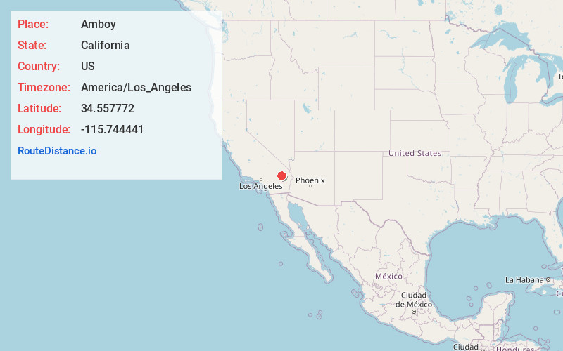
Full AddressAmboy, CA 92304
-
Coordinates34.5577721, -115.7444411
-
LocationAmboy , California , US
-
TimezoneAmerica/Los_Angeles
-
Current Local Time5:21:55 PM America/Los_AngelesTuesday, June 3, 2025
-
Page Views0
About Amboy
Amboy is an unincorporated community in San Bernardino County, in California's Mojave Desert, west of Needles and east of Ludlow on historic Route 66. It is roughly 60 miles northeast of Twentynine Palms.


Nearby Places
Found 10 places within 50 miles

Saltus
3.4 mi
5.5 km
Saltus, CA 92277
Get directions
Orange Blossom Mine
9.2 mi
14.8 km
Orange Blossom Mine, California
Get directions

Klondike
16.6 mi
26.7 km
Klondike, CA
Get directions

Ludlow
26.2 mi
42.2 km
Ludlow, CA 92338
Get directions
Bush
28.3 mi
45.5 km
Bush, CA 92277
Get directions
Sands
33.6 mi
54.1 km
Sands, CA
Get directions

Sunfair Heights
34.8 mi
56.0 km
Sunfair Heights, CA 92252
Get directions

Pinto Wye
40.3 mi
64.9 km
Pinto Wye, CA 92277
Get directions

Joshua Tree
43.7 mi
70.3 km
Joshua Tree, CA
Get directions

Homestead Valley
45.1 mi
72.6 km
Homestead Valley, CA
Get directions
Location Links
Local Weather
Weather Information
Coming soon!
Location Map
Static map view of Amboy, California
Browse Places by Distance
Places within specific distances from Amboy
Short Distances
Long Distances
Click any distance to see all places within that range from Amboy. Distances shown in miles (1 mile ≈ 1.61 kilometers).