Distance to and from Andover, Vermont
Andover, VT
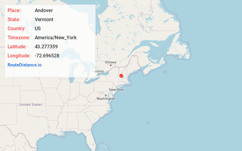
Andover
Vermont
US
America/New_York
Location Information
-
Full AddressAndover, VT
-
Coordinates43.2773586, -72.6965278
-
LocationAndover , Vermont , US
-
TimezoneAmerica/New_York
-
Current Local Time7:19:25 PM America/New_YorkSaturday, May 3, 2025
-
Page Views0
Directions to Nearest Cities
About Andover
Andover is a town in Windsor County, Vermont, United States. The population was 568 at the 2020 census.
Nearby Places
Found 10 places within 50 miles

Weston
4.9 mi
7.9 km
Weston, VT
Get directions

Chester
5.2 mi
8.4 km
Chester, VT 05143
Get directions

Londonderry
6.6 mi
10.6 km
Londonderry, VT
Get directions

Ludlow
8.2 mi
13.2 km
Ludlow, VT
Get directions

Grafton
8.6 mi
13.8 km
Grafton, VT
Get directions

Cavendish
10.8 mi
17.4 km
Cavendish, VT
Get directions

Springfield
10.9 mi
17.5 km
Springfield, VT
Get directions

Town of Rockingham
12.2 mi
19.6 km
Town of Rockingham, VT
Get directions

Jamaica
12.9 mi
20.8 km
Jamaica, VT
Get directions
Mt Holly
13.4 mi
21.6 km
Mt Holly, VT
Get directions
Weston
4.9 mi
7.9 km
Weston, VT
Chester
5.2 mi
8.4 km
Chester, VT 05143
Londonderry
6.6 mi
10.6 km
Londonderry, VT
Ludlow
8.2 mi
13.2 km
Ludlow, VT
Grafton
8.6 mi
13.8 km
Grafton, VT
Cavendish
10.8 mi
17.4 km
Cavendish, VT
Springfield
10.9 mi
17.5 km
Springfield, VT
Town of Rockingham
12.2 mi
19.6 km
Town of Rockingham, VT
Jamaica
12.9 mi
20.8 km
Jamaica, VT
Mt Holly
13.4 mi
21.6 km
Mt Holly, VT
Location Links
Local Weather
Weather Information
Coming soon!
Location Map
Static map view of Andover, Vermont
Browse Places by Distance
Places within specific distances from Andover
Short Distances
Long Distances
Click any distance to see all places within that range from Andover. Distances shown in miles (1 mile ≈ 1.61 kilometers).