Distance to Antioch, Nebraska

Calculating Your Route
Just a moment while we process your request...
Location Information
-
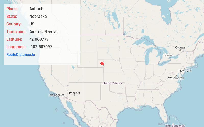
Full AddressAntioch, NE 69340
-
Coordinates42.068779, -102.587097
-
LocationAntioch , Nebraska , US
-
TimezoneAmerica/Denver
-
Current Local Time1:47:12 PM America/DenverTuesday, June 17, 2025
-
Page Views0
About Antioch
Antioch is a ghost town in Sheridan County, Nebraska, United States. Located approximately 15 miles east of Alliance on Nebraska Highway 2, the town was once nicknamed "the potash capital of Nebraska." The town took its name from Antioch, Ohio.
Nearby Places
Found 10 places within 50 miles

Hoffland
3.7 mi
6.0 km
Hoffland, South Sheridan Precinct, NE 69301
Get directions
Lakeside
8.3 mi
13.4 km
Lakeside, NE 69351
Get directions

Alliance
14.6 mi
23.5 km
Alliance, NE 69301
Get directions

Ellsworth
15.8 mi
25.4 km
Ellsworth, NE 69340
Get directions
Letan
18.5 mi
29.8 km
Letan, Eleven Precinct, NE 69301
Get directions
Mumper
22.5 mi
36.2 km
Mumper, Lost Creek Precinct, NE 69148
Get directions
Berea
22.7 mi
36.5 km
Berea, NE 69301
Get directions
Bonner
24.0 mi
38.6 km
Bonner, NE 69331
Get directions
Bingham
25.8 mi
41.5 km
Bingham, NE
Get directions

Hemingford
30.4 mi
48.9 km
Hemingford, NE 69348
Get directions
Location Links
Local Weather
Weather Information
Coming soon!
Location Map
Static map view of Antioch, Nebraska
Browse Places by Distance
Places within specific distances from Antioch
Short Distances
Long Distances
Click any distance to see all places within that range from Antioch. Distances shown in miles (1 mile ≈ 1.61 kilometers).