Distance to Antwerp Township, Michigan

Calculating Your Route
Just a moment while we process your request...
Location Information
-
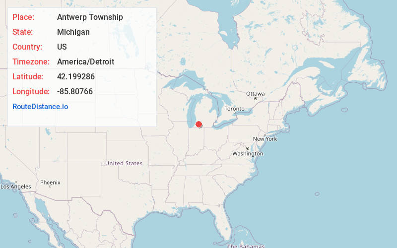
Full AddressAntwerp Township, MI
-
Coordinates42.1992857, -85.80766
-
LocationAntwerp Township , Michigan , US
-
TimezoneAmerica/Detroit
-
Current Local Time2:50:04 AM America/DetroitMonday, June 2, 2025
-
Page Views0
About Antwerp Township
Antwerp Township is a civil township of Van Buren County in the U.S. state of Michigan. As of the 2020 census, the township population was 13,425. It was named after the major Belgian city of Antwerp.


Nearby Places
Found 10 places within 50 miles

Mattawan
1.4 mi
2.3 km
Mattawan, MI
Get directions

Lawton
3.0 mi
4.8 km
Lawton, MI 49065
Get directions

Paw Paw
4.5 mi
7.2 km
Paw Paw, MI 49079
Get directions

Maple Island
4.6 mi
7.4 km
Maple Island, Paw Paw, MI 49079
Get directions

Paw Paw Township
6.1 mi
9.8 km
Paw Paw Township, MI
Get directions

Texas Township
6.2 mi
10.0 km
Texas Township, MI
Get directions

Almena Township
6.9 mi
11.1 km
Almena Township, MI
Get directions

Teapot Dome
8.2 mi
13.2 km
Teapot Dome, Paw Paw Township, MI 49079
Get directions
Prairie Ronde Township
8.7 mi
14.0 km
Prairie Ronde Township, MI 49087
Get directions
Chamberlain
9.8 mi
15.8 km
Chamberlain, Flowerfield Township, MI 49067
Get directions
Location Links
Local Weather
Weather Information
Coming soon!
Location Map
Static map view of Antwerp Township, Michigan
Browse Places by Distance
Places within specific distances from Antwerp Township
Short Distances
Long Distances
Click any distance to see all places within that range from Antwerp Township. Distances shown in miles (1 mile ≈ 1.61 kilometers).