Distance to and from Apache-Sitgreaves National Forests, Arizona
Apache-Sitgreaves National Forests, 30 South Chiricahua Drive, Springerville, AZ 85938
Springerville
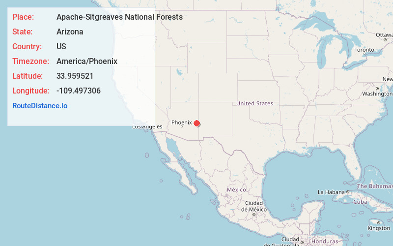
Arizona
US
America/Phoenix
Location Information
-
Full AddressApache-Sitgreaves National Forests, 30 South Chiricahua Drive, Springerville, AZ 85938
-
Coordinates33.9595211, -109.4973059
-
Street30 South Chiricahua Drive
-
LocationSpringerville , Arizona , US
-
TimezoneAmerica/Phoenix
-
Current Local Time9:09:18 AM America/PhoenixSaturday, May 3, 2025
-
Website
-
Page Views0
Directions to Nearest Cities
About Apache-Sitgreaves National Forests
Fishing, canoeing, hiking, tent & RV camping & more, on 2 million acres of mountain country.


Nearby Places
Found 10 places within 50 miles

Greer
4.1 mi
6.6 km
Greer, AZ 85927
Get directions

Northwoods
5.3 mi
8.5 km
Northwoods, AZ 85927
Get directions
Three Forks
12.8 mi
20.6 km
Three Forks, AZ
Get directions
Rosebud
13.5 mi
21.7 km
Rosebud, AZ 85938
Get directions

Christmas Tree Lake
14.0 mi
22.5 km
Christmas Tree Lake, Arizona 85941
Get directions

Boneyard
14.0 mi
22.5 km
Boneyard, AZ 85920
Get directions

Hawley Lake
14.4 mi
23.2 km
Hawley Lake, AZ 85930
Get directions

Round Valley Unified District
15.7 mi
25.3 km
Round Valley Unified District, AZ
Get directions

Eagar
15.8 mi
25.4 km
Eagar, AZ
Get directions

Nutrioso
16.6 mi
26.7 km
Nutrioso, AZ 85932
Get directions
Greer
4.1 mi
6.6 km
Greer, AZ 85927
Northwoods
5.3 mi
8.5 km
Northwoods, AZ 85927
Three Forks
12.8 mi
20.6 km
Three Forks, AZ
Rosebud
13.5 mi
21.7 km
Rosebud, AZ 85938
Christmas Tree Lake
14.0 mi
22.5 km
Christmas Tree Lake, Arizona 85941
Boneyard
14.0 mi
22.5 km
Boneyard, AZ 85920
Hawley Lake
14.4 mi
23.2 km
Hawley Lake, AZ 85930
Round Valley Unified District
15.7 mi
25.3 km
Round Valley Unified District, AZ
Eagar
15.8 mi
25.4 km
Eagar, AZ
Nutrioso
16.6 mi
26.7 km
Nutrioso, AZ 85932
Location Links
Local Weather
Weather Information
Coming soon!
Location Map
Static map view of Apache-Sitgreaves National Forests, Arizona
Browse Places by Distance
Places within specific distances from Apache-Sitgreaves National Forests
Short Distances
Long Distances
Click any distance to see all places within that range from Apache-Sitgreaves National Forests. Distances shown in miles (1 mile ≈ 1.61 kilometers).