Distance to and from Greer, Arizona
Greer, AZ 85927
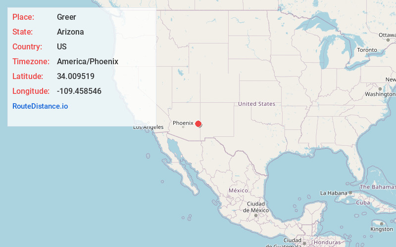
Greer
Arizona
US
America/Phoenix
Location Information
-
Full AddressGreer, AZ 85927
-
Coordinates34.0095187, -109.4585456
-
LocationGreer , Arizona , US
-
TimezoneAmerica/Phoenix
-
Current Local Time6:28:25 PM America/PhoenixMonday, May 5, 2025
-
Page Views0
Directions to Nearest Cities
About Greer
Greer is an unincorporated community and census-designated place in Apache County, Arizona, United States. Located within the White Mountains of Arizona and surrounded by the Apache-Sitgreaves National Forest, Greer is the highest town in the state at an elevation of approximately 8,400 feet.


Nearby Places
Found 10 places within 50 miles

Eagar
11.9 mi
19.2 km
Eagar, AZ
Get directions

Round Valley Unified District
11.9 mi
19.2 km
Round Valley Unified District, AZ
Get directions

Springerville
13.1 mi
21.1 km
Springerville, AZ
Get directions

Nutrioso
14.8 mi
23.8 km
Nutrioso, AZ 85932
Get directions

Alpine
21.2 mi
34.1 km
Alpine, AZ 85920
Get directions

Vernon
21.6 mi
34.8 km
Vernon, AZ 85940
Get directions

McNary
23.2 mi
37.3 km
McNary, AZ
Get directions

North Fork White River
27.1 mi
43.6 km
North Fork White River, Arizona 85941
Get directions

Pinetop-Lakeside
30.2 mi
48.6 km
Pinetop-Lakeside, AZ
Get directions

East Fork
30.5 mi
49.1 km
East Fork, AZ 85941
Get directions
Eagar
11.9 mi
19.2 km
Eagar, AZ
Round Valley Unified District
11.9 mi
19.2 km
Round Valley Unified District, AZ
Springerville
13.1 mi
21.1 km
Springerville, AZ
Nutrioso
14.8 mi
23.8 km
Nutrioso, AZ 85932
Alpine
21.2 mi
34.1 km
Alpine, AZ 85920
Vernon
21.6 mi
34.8 km
Vernon, AZ 85940
McNary
23.2 mi
37.3 km
McNary, AZ
North Fork White River
27.1 mi
43.6 km
North Fork White River, Arizona 85941
Pinetop-Lakeside
30.2 mi
48.6 km
Pinetop-Lakeside, AZ
East Fork
30.5 mi
49.1 km
East Fork, AZ 85941
Location Links
Local Weather
Weather Information
Coming soon!
Location Map
Static map view of Greer, Arizona
Browse Places by Distance
Places within specific distances from Greer
Short Distances
Long Distances
Click any distance to see all places within that range from Greer. Distances shown in miles (1 mile ≈ 1.61 kilometers).