Distance to Applegate, California

Calculating Your Route
Just a moment while we process your request...
Location Information
-
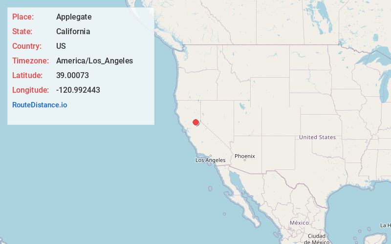
Full AddressApplegate, CA 95703
-
Coordinates39.0007303, -120.9924431
-
LocationApplegate , California , US
-
TimezoneAmerica/Los_Angeles
-
Current Local Time8:25:53 PM America/Los_AngelesSaturday, June 21, 2025
-
Page Views0
About Applegate
Applegate is an unincorporated community in Placer County, California. It is 7.25 mi south-southwest of Colfax, and 9.3 mi northeast of Auburn. The city's msl elevation is 2,005 ft. Its ZIP code is 95703 and its area code 530.


Nearby Places
Found 10 places within 50 miles

Meadow Vista
1.6 mi
2.6 km
Meadow Vista, CA
Get directions

Weimar
2.8 mi
4.5 km
Weimar, CA 95713
Get directions

Nielsburg
3.7 mi
6.0 km
Nielsburg, CA 95603
Get directions

Bowman
5.0 mi
8.0 km
Bowman, CA 95603
Get directions

North Auburn
7.2 mi
11.6 km
North Auburn, CA
Get directions

Colfax
7.2 mi
11.6 km
Colfax, CA 95713
Get directions

Auburn Lake Trails
7.6 mi
12.2 km
Auburn Lake Trails, CA 95614
Get directions

Greenwood
8.2 mi
13.2 km
Greenwood, CA 95635
Get directions
Shady Glen
8.4 mi
13.5 km
Shady Glen, CA 95713
Get directions

Auburn
8.5 mi
13.7 km
Auburn, CA
Get directions
Location Links
Local Weather
Weather Information
Coming soon!
Location Map
Static map view of Applegate, California
Browse Places by Distance
Places within specific distances from Applegate
Short Distances
Long Distances
Click any distance to see all places within that range from Applegate. Distances shown in miles (1 mile ≈ 1.61 kilometers).