Distance to Apron Crossing, Arizona

Calculating Your Route
Just a moment while we process your request...
Location Information
-
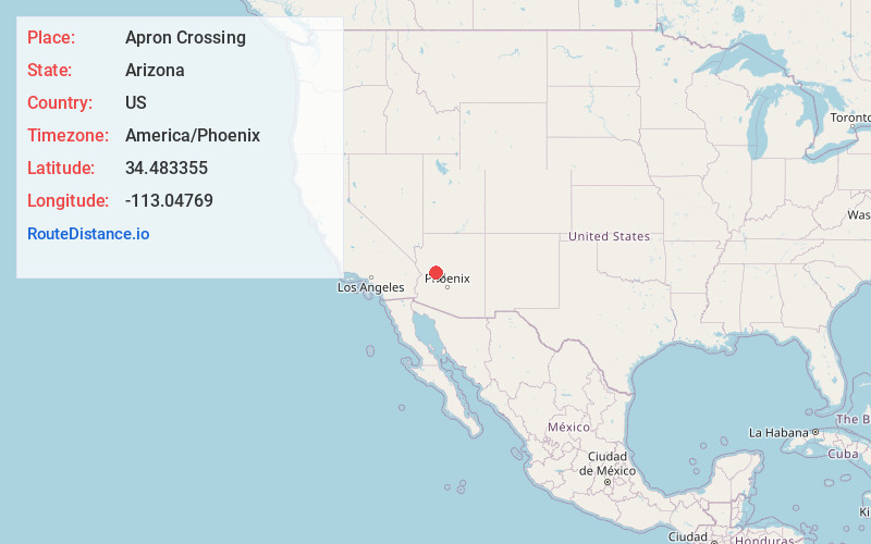
Full AddressApron Crossing, AZ 86321
-
Coordinates34.483355, -113.0476903
-
LocationApron Crossing , Arizona , US
-
TimezoneAmerica/Phoenix
-
Current Local Time8:25:19 PM America/PhoenixTuesday, June 17, 2025
-
Page Views0
Nearby Places
Found 10 places within 50 miles

Bagdad
9.6 mi
15.4 km
Bagdad, AZ 86321
Get directions

Date
13.8 mi
22.2 km
Date, AZ 85362
Get directions
Piedmont
19.9 mi
32.0 km
Piedmont, AZ 85362
Get directions
Ferguson Place Windmill
20.2 mi
32.5 km
Ferguson Place Windmill, AZ 86332
Get directions

Skull Valley
20.7 mi
33.3 km
Skull Valley, AZ
Get directions

Peeples Valley
21.8 mi
35.1 km
Peeples Valley, AZ
Get directions
Goodwater Tank
21.8 mi
35.1 km
Goodwater Tank, Arizona 85360
Get directions

Congress
24.9 mi
40.1 km
Congress, AZ 85332
Get directions

Yarnell
24.9 mi
40.1 km
Yarnell, AZ
Get directions
Walker Place Windmill
26.1 mi
42.0 km
Walker Place Windmill, AZ 86332
Get directions
Location Links
Local Weather
Weather Information
Coming soon!
Location Map
Static map view of Apron Crossing, Arizona
Browse Places by Distance
Places within specific distances from Apron Crossing
Short Distances
Long Distances
Click any distance to see all places within that range from Apron Crossing. Distances shown in miles (1 mile ≈ 1.61 kilometers).