Distance to Arock, Oregon

Calculating Your Route
Just a moment while we process your request...
Location Information
-
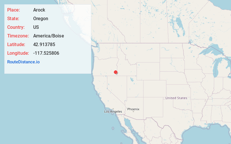
Full AddressArock, OR 97902
-
Coordinates42.913785, -117.5258057
-
LocationArock , Oregon , US
-
TimezoneAmerica/Boise
-
Current Local Time8:24:16 PM America/BoiseTuesday, June 17, 2025
-
Page Views0
About Arock
Arock is an unincorporated community in Malheur County, Oregon, United States. It is part of the Ontario, OR–ID Micropolitan Statistical Area. Arock is along Arock Road, 3 miles north of U.S. Route 95 between Jordan Valley and Rome. Jordan Creek flows near Arock and joins the Owyhee River just west of Arock.
Nearby Places
Found 10 places within 50 miles

Jordan Valley
24.2 mi
38.9 km
Jordan Valley, OR 97910
Get directions

Sheaville
28.2 mi
45.4 km
Sheaville, OR 97910
Get directions

Crowley
32.0 mi
51.5 km
Crowley, OR 97906
Get directions

Cliffs
33.5 mi
53.9 km
Cliffs, ID 83650
Get directions
South Mountain Creek
34.7 mi
55.8 km
South Mountain Creek, Idaho 83650
Get directions
Rockville Seeding Reservoir Number One
35.4 mi
57.0 km
Rockville Seeding Reservoir Number One, Oregon 97910
Get directions
De Lamar
35.9 mi
57.8 km
De Lamar, ID 97910
Get directions
Fairylawn
36.2 mi
58.3 km
Fairylawn, ID 83650
Get directions
Skull Spring
42.6 mi
68.6 km
Skull Spring, Oregon 97906
Get directions
Reynolds
44.2 mi
71.1 km
Reynolds, ID 83650
Get directions
Location Links
Local Weather
Weather Information
Coming soon!
Location Map
Static map view of Arock, Oregon
Browse Places by Distance
Places within specific distances from Arock
Short Distances
Long Distances
Click any distance to see all places within that range from Arock. Distances shown in miles (1 mile ≈ 1.61 kilometers).