Distance to Atherton, California

Calculating Your Route
Just a moment while we process your request...
Location Information
-
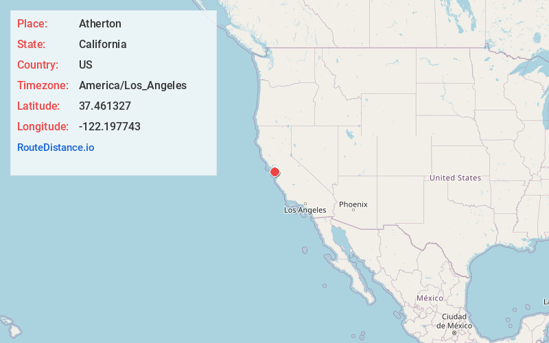
Full AddressAtherton, CA
-
Coordinates37.4613272, -122.197743
-
LocationAtherton , California , US
-
TimezoneAmerica/Los_Angeles
-
Current Local Time8:32:46 AM America/Los_AngelesThursday, June 12, 2025
-
Website
-
Page Views0
About Atherton
Atherton is an incorporated town in San Mateo County, California, United States. Its population was 6,823 as of July 2023 estimates. The town's zoning regulations permit only one single-family home per acre in new subdivisions, though smaller lots exist from prior zoning laws.


Nearby Places
Found 10 places within 50 miles

Menlo Park
1.1 mi
1.8 km
Menlo Park, CA
Get directions

Redwood City
2.3 mi
3.7 km
Redwood City, CA
Get directions

Stanford
3.1 mi
5.0 km
Stanford, CA
Get directions

East Palo Alto
3.2 mi
5.1 km
East Palo Alto, CA
Get directions

Palo Alto
3.3 mi
5.3 km
Palo Alto, CA
Get directions

San Carlos
4.7 mi
7.6 km
San Carlos, CA
Get directions

Belmont
5.9 mi
9.5 km
Belmont, CA
Get directions

Los Altos Hills
6.5 mi
10.5 km
Los Altos Hills, CA
Get directions

Los Altos
7.0 mi
11.3 km
Los Altos, CA
Get directions

Foster City
7.8 mi
12.6 km
Foster City, CA
Get directions
Location Links
Local Weather
Weather Information
Coming soon!
Location Map
Static map view of Atherton, California
Browse Places by Distance
Places within specific distances from Atherton
Short Distances
Long Distances
Click any distance to see all places within that range from Atherton. Distances shown in miles (1 mile ≈ 1.61 kilometers).