Distance to Austell, Georgia

Calculating Your Route
Just a moment while we process your request...
Location Information
-
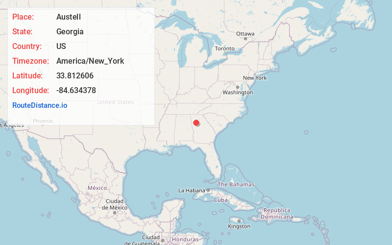
Full AddressAustell, GA
-
Coordinates33.8126059, -84.6343783
-
LocationAustell , Georgia , US
-
TimezoneAmerica/New_York
-
Current Local Time4:52:07 AM America/New_YorkTuesday, June 24, 2025
-
Page Views0
About Austell
Austell is a city in Cobb County in the U.S. state of Georgia. It is part of the Atlanta metropolitan area. As of the 2020 census, the city had a population of 7,713.


Nearby Places
Found 10 places within 50 miles

Lithia Springs
2.0 mi
3.2 km
Lithia Springs, GA
Get directions

Mableton
3.0 mi
4.8 km
Mableton, GA
Get directions

Powder Springs
4.3 mi
6.9 km
Powder Springs, GA
Get directions

Douglasville
7.8 mi
12.6 km
Douglasville, GA
Get directions

Smyrna
8.5 mi
13.7 km
Smyrna, GA
Get directions

Fair Oaks
8.8 mi
14.2 km
Fair Oaks, GA
Get directions

Vinings
10.4 mi
16.7 km
Vinings, GA
Get directions

South Fulton
10.7 mi
17.2 km
South Fulton, GA
Get directions

Marietta
10.9 mi
17.5 km
Marietta, GA
Get directions

Dallas
14.2 mi
22.9 km
Dallas, GA
Get directions
Location Links
Local Weather
Weather Information
Coming soon!
Location Map
Static map view of Austell, Georgia
Browse Places by Distance
Places within specific distances from Austell
Short Distances
Long Distances
Click any distance to see all places within that range from Austell. Distances shown in miles (1 mile ≈ 1.61 kilometers).