Distance to Lithia Springs, Georgia

Calculating Your Route
Just a moment while we process your request...
Location Information
-
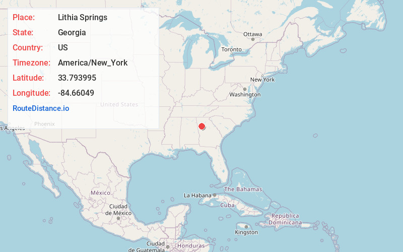
Full AddressLithia Springs, GA
-
Coordinates33.7939953, -84.6604899
-
LocationLithia Springs , Georgia , US
-
TimezoneAmerica/New_York
-
Current Local Time9:09:15 AM America/New_YorkMonday, June 23, 2025
-
Page Views0
About Lithia Springs
Lithia Springs is an unincorporated community and census-designated place, formerly incorporated as a city, located in northeastern Douglas County, Georgia, United States. As of the 2020 census, the community had a population of 16,644. The area is named for its historic lithia mineral water springs.


Nearby Places
Found 10 places within 50 miles

Powder Springs
4.7 mi
7.6 km
Powder Springs, GA
Get directions

Mableton
4.8 mi
7.7 km
Mableton, GA
Get directions

Douglasville
5.8 mi
9.3 km
Douglasville, GA
Get directions

South Fulton
9.6 mi
15.4 km
South Fulton, GA
Get directions

Smyrna
10.4 mi
16.7 km
Smyrna, GA
Get directions

Marietta
12.7 mi
20.4 km
Marietta, GA
Get directions

East Point
15.0 mi
24.1 km
East Point, GA
Get directions

Villa Rica
15.5 mi
24.9 km
Villa Rica, GA 30180
Get directions

Union City
15.8 mi
25.4 km
Union City, GA
Get directions

Atlanta
15.9 mi
25.6 km
Atlanta, GA
Get directions
Location Links
Local Weather
Weather Information
Coming soon!
Location Map
Static map view of Lithia Springs, Georgia
Browse Places by Distance
Places within specific distances from Lithia Springs
Short Distances
Long Distances
Click any distance to see all places within that range from Lithia Springs. Distances shown in miles (1 mile ≈ 1.61 kilometers).