Distance to Avard, Oklahoma

Calculating Your Route
Just a moment while we process your request...
Location Information
-
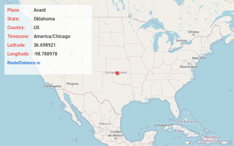
Full AddressAvard, OK 73717
-
Coordinates36.6989211, -98.7889783
-
LocationAvard , Oklahoma , US
-
TimezoneAmerica/Chicago
-
Current Local Time3:46:01 PM America/ChicagoTuesday, July 1, 2025
-
Page Views0
About Avard
Avard is a current settlement and former incorporated town located in Woods County, Oklahoma, United States. It is southwest of Alva, and northeast of Waynoka. As of the 2020 census, the community had 11 residents. After initial growth, Avard began declining in the 1930s.


Nearby Places
Found 10 places within 50 miles

Waynoka
9.5 mi
15.3 km
Waynoka, OK 73860
Get directions

Alva
10.0 mi
16.1 km
Alva, OK 73717
Get directions

Dacoma
12.8 mi
20.6 km
Dacoma, OK 73731
Get directions

Freedom
18.6 mi
29.9 km
Freedom, OK 73842
Get directions

Carmen
19.9 mi
32.0 km
Carmen, OK 73726
Get directions

Lambert
20.3 mi
32.7 km
Lambert, OK 73728
Get directions

Aline
22.9 mi
36.9 km
Aline, OK 73716
Get directions

Hardtner
23.1 mi
37.2 km
Hardtner, KS 67057
Get directions

Cherokee
24.2 mi
38.9 km
Cherokee, OK 73728
Get directions
Burlington
24.6 mi
39.6 km
Burlington, OK 73722
Get directions
Location Links
Local Weather
Weather Information
Coming soon!
Location Map
Static map view of Avard, Oklahoma
Browse Places by Distance
Places within specific distances from Avard
Short Distances
Long Distances
Click any distance to see all places within that range from Avard. Distances shown in miles (1 mile ≈ 1.61 kilometers).