Distance to Freedom, Oklahoma

Calculating Your Route
Just a moment while we process your request...
Location Information
-
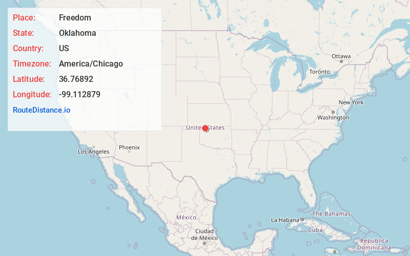
Full AddressFreedom, OK 73842
-
Coordinates36.7689204, -99.1128789
-
LocationFreedom , Oklahoma , US
-
TimezoneAmerica/Chicago
-
Current Local Time7:50:20 AM America/ChicagoSaturday, June 21, 2025
-
Page Views0
About Freedom
Freedom is a town in Woods County, Oklahoma, United States. It lies twenty-five miles west of Alva, on the banks of the Cimarron River. The population was 174 at the time of the 2020 Census.


Nearby Places
Found 10 places within 50 miles

Waynoka
18.3 mi
29.5 km
Waynoka, OK 73860
Get directions

Mooreland
23.3 mi
37.5 km
Mooreland, OK 73852
Get directions

Alva
24.8 mi
39.9 km
Alva, OK 73717
Get directions

Woodward
27.8 mi
44.7 km
Woodward, OK 73801
Get directions

Fort Supply
28.8 mi
46.3 km
Fort Supply, OK 73841
Get directions

Buffalo
29.0 mi
46.7 km
Buffalo, OK
Get directions

Hardtner
30.7 mi
49.4 km
Hardtner, KS 67057
Get directions

Protection
36.2 mi
58.3 km
Protection, KS 67127
Get directions

Coldwater
36.5 mi
58.7 km
Coldwater, KS 67029
Get directions

Carmen
38.4 mi
61.8 km
Carmen, OK 73726
Get directions
Location Links
Local Weather
Weather Information
Coming soon!
Location Map
Static map view of Freedom, Oklahoma
Browse Places by Distance
Places within specific distances from Freedom
Short Distances
Long Distances
Click any distance to see all places within that range from Freedom. Distances shown in miles (1 mile ≈ 1.61 kilometers).