Distance to Baldwin, Michigan

Calculating Your Route
Just a moment while we process your request...
Location Information
-
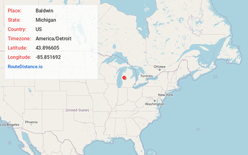
Full AddressBaldwin, MI 49304
-
Coordinates43.8966047, -85.8516917
-
LocationBaldwin , Michigan , US
-
TimezoneAmerica/Detroit
-
Current Local Time2:59:50 AM America/DetroitFriday, June 20, 2025
-
Page Views0
About Baldwin
Baldwin is a village in the U.S. state of Michigan. The population was 863 at the 2020 census. It is the county seat of Lake County. The village is located on the boundary between Webber Township on the north and Pleasant Plains Township on the south, with the larger portion lying in Pleasant Plains.


Nearby Places
Found 10 places within 50 miles

Reed City
17.1 mi
27.5 km
Reed City, MI 49677
Get directions

Scottville
21.7 mi
34.9 km
Scottville, MI 49454
Get directions

Big Rapids
22.9 mi
36.9 km
Big Rapids, MI 49307
Get directions

White Cloud
24.3 mi
39.1 km
White Cloud, MI 49349
Get directions

Hart
29.0 mi
46.7 km
Hart, MI
Get directions

Evart
29.6 mi
47.6 km
Evart, MI 49631
Get directions

Fremont
30.0 mi
48.3 km
Fremont, MI
Get directions

Ludington
30.2 mi
48.6 km
Ludington, MI 49431
Get directions

Shelby
32.4 mi
52.1 km
Shelby, MI 49455
Get directions

Newaygo
33.1 mi
53.3 km
Newaygo, MI 49337
Get directions
Location Links
Local Weather
Weather Information
Coming soon!
Location Map
Static map view of Baldwin, Michigan
Browse Places by Distance
Places within specific distances from Baldwin
Short Distances
Long Distances
Click any distance to see all places within that range from Baldwin. Distances shown in miles (1 mile ≈ 1.61 kilometers).