Distance to and from Banks, Idaho
Banks, ID 83602
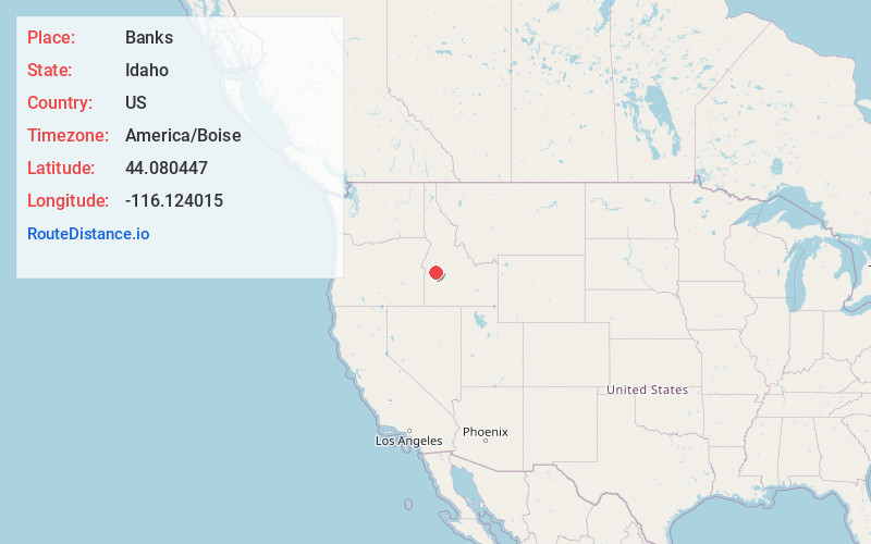
Banks
Idaho
US
America/Boise
Location Information
-
Full AddressBanks, ID 83602
-
Coordinates44.0804473, -116.124015
-
LocationBanks , Idaho , US
-
TimezoneAmerica/Boise
-
Current Local Time5:11:18 PM America/BoiseSaturday, May 3, 2025
-
Page Views0
Directions to Nearest Cities
About Banks
Banks is a census-designated place along the Payette River in Boise County, Idaho, United States, 12 miles north-northeast of Horseshoe Bend on Idaho State Highway 55,


Nearby Places
Found 10 places within 50 miles

Crouch
8.0 mi
12.9 km
Crouch, ID 83622
Get directions

Garden Valley
8.5 mi
13.7 km
Garden Valley, ID 83622
Get directions

Horseshoe Bend
12.0 mi
19.3 km
Horseshoe Bend, ID 83629
Get directions

Placerville
12.9 mi
20.8 km
Placerville, ID
Get directions

Smiths Ferry
15.5 mi
24.9 km
Smiths Ferry, ID 83611
Get directions

Idaho City
22.6 mi
36.4 km
Idaho City, ID 83631
Get directions

Emmett
23.5 mi
37.8 km
Emmett, ID 83617
Get directions

Lowman
25.1 mi
40.4 km
Lowman, ID 83637
Get directions

Hidden Springs
25.9 mi
41.7 km
Hidden Springs, ID 83714
Get directions

Eagle
29.0 mi
46.7 km
Eagle, ID
Get directions
Crouch
8.0 mi
12.9 km
Crouch, ID 83622
Garden Valley
8.5 mi
13.7 km
Garden Valley, ID 83622
Horseshoe Bend
12.0 mi
19.3 km
Horseshoe Bend, ID 83629
Placerville
12.9 mi
20.8 km
Placerville, ID
Smiths Ferry
15.5 mi
24.9 km
Smiths Ferry, ID 83611
Idaho City
22.6 mi
36.4 km
Idaho City, ID 83631
Emmett
23.5 mi
37.8 km
Emmett, ID 83617
Lowman
25.1 mi
40.4 km
Lowman, ID 83637
Hidden Springs
25.9 mi
41.7 km
Hidden Springs, ID 83714
Eagle
29.0 mi
46.7 km
Eagle, ID
Location Links
Local Weather
Weather Information
Coming soon!
Location Map
Static map view of Banks, Idaho
Browse Places by Distance
Places within specific distances from Banks
Short Distances
Long Distances
Click any distance to see all places within that range from Banks. Distances shown in miles (1 mile ≈ 1.61 kilometers).