Distance to Bannock, Ohio

Calculating Your Route
Just a moment while we process your request...
Location Information
-
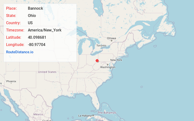
Full AddressBannock, OH 43950
-
Coordinates40.0986812, -80.9770402
-
LocationBannock , Ohio , US
-
TimezoneAmerica/New_York
-
Current Local Time5:10:51 PM America/New_YorkWednesday, June 18, 2025
-
Page Views0
About Bannock
Bannock is a census-designated place in northwestern Richland Township, Belmont County, Ohio, United States, along Wheeling Creek. As of the 2020 census it had a population of 159. It has a post office with the ZIP code 43972. It lies along State Route 331.
Nearby Places
Found 10 places within 50 miles

St Clairsville
4.2 mi
6.8 km
St Clairsville, OH 43950
Get directions

Morristown
5.7 mi
9.2 km
Morristown, OH
Get directions

Belmont
5.8 mi
9.3 km
Belmont, OH 43718
Get directions

Flushing
5.9 mi
9.5 km
Flushing, OH 43977
Get directions

New Athens
6.0 mi
9.7 km
New Athens, OH
Get directions
Bethesda
7.6 mi
12.2 km
Bethesda, OH 43719
Get directions
Blaine
8.7 mi
14.0 km
Blaine, OH
Get directions
Holloway
9.3 mi
15.0 km
Holloway, OH
Get directions
Neffs
9.9 mi
15.9 km
Neffs, OH 43906
Get directions

Adena
10.0 mi
16.1 km
Adena, OH
Get directions
Location Links
Local Weather
Weather Information
Coming soon!
Location Map
Static map view of Bannock, Ohio
Browse Places by Distance
Places within specific distances from Bannock
Short Distances
Long Distances
Click any distance to see all places within that range from Bannock. Distances shown in miles (1 mile ≈ 1.61 kilometers).