Distance to Barhamsville, Virginia

Calculating Your Route
Just a moment while we process your request...
Location Information
-
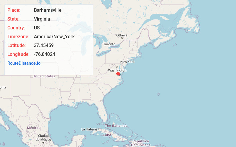
Full AddressBarhamsville, VA 23011
-
Coordinates37.4545901, -76.8402403
-
LocationBarhamsville , Virginia , US
-
TimezoneAmerica/New_York
-
Current Local Time12:48:07 AM America/New_YorkWednesday, June 18, 2025
-
Page Views0
About Barhamsville
Barhamsville is an unincorporated community in New Kent County, Virginia, United States. It is home to a monastery of the Poor Clares.
Barhamsville is on the south bank of the York River, about 70 miles from the river's entrance into the Atlantic Ocean. It lies 89 feet above mean sea level.
Nearby Places
Found 10 places within 50 miles

Lanexa
4.0 mi
6.4 km
Lanexa, VA 23089
Get directions

Diascund
4.5 mi
7.2 km
Diascund, VA 23089
Get directions
Mt Folly
5.8 mi
9.3 km
Mt Folly, Virginia 23188
Get directions

West Point
5.8 mi
9.3 km
West Point, VA 23181
Get directions

Norge
7.1 mi
11.4 km
Norge, VA 23188
Get directions
Roane
7.4 mi
11.9 km
Roane, VA 23156
Get directions
West End
7.8 mi
12.6 km
West End, VA 23061
Get directions
Romancoke
8.2 mi
13.2 km
Romancoke, VA 23181
Get directions

Lightfoot
8.8 mi
14.2 km
Lightfoot, VA
Get directions
New Kent
9.0 mi
14.5 km
New Kent, VA 23124
Get directions
Location Links
Local Weather
Weather Information
Coming soon!
Location Map
Static map view of Barhamsville, Virginia
Browse Places by Distance
Places within specific distances from Barhamsville
Short Distances
Long Distances
Click any distance to see all places within that range from Barhamsville. Distances shown in miles (1 mile ≈ 1.61 kilometers).