Distance to Lanexa, Virginia

Calculating Your Route
Just a moment while we process your request...
Location Information
-
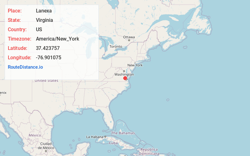
Full AddressLanexa, VA 23089
-
Coordinates37.4237573, -76.9010753
-
LocationLanexa , Virginia , US
-
TimezoneAmerica/New_York
-
Current Local Time9:08:31 PM America/New_YorkSunday, June 29, 2025
-
Page Views0
About Lanexa
Lanexa is an unincorporated community partially in New Kent County, and partially in James City County, Virginia, United States. The ZIP Code for Lanexa is 23089. Lanexa is located by the Chickahominy River and has many tourism sites for camping and outdoor activities.

Nearby Places
Found 10 places within 50 miles

New Kent
7.8 mi
12.6 km
New Kent, VA 23124
Get directions

West Point
9.4 mi
15.1 km
West Point, VA 23181
Get directions

Charles City
10.9 mi
17.5 km
Charles City, VA 23030
Get directions

Claremont
14.0 mi
22.5 km
Claremont, VA
Get directions

Williamsburg
14.7 mi
23.7 km
Williamsburg, VA
Get directions
King and Queen Court House
17.1 mi
27.5 km
King and Queen Court House, VA
Get directions
Scotland
17.7 mi
28.5 km
Scotland, VA 23883
Get directions
Kimages Hill
18.6 mi
29.9 km
Kimages Hill, Virginia 23030
Get directions
King William
19.2 mi
30.9 km
King William, VA
Get directions

Surry
20.1 mi
32.3 km
Surry, VA
Get directions
Location Links
Local Weather
Weather Information
Coming soon!
Location Map
Static map view of Lanexa, Virginia
Browse Places by Distance
Places within specific distances from Lanexa
Short Distances
Long Distances
Click any distance to see all places within that range from Lanexa. Distances shown in miles (1 mile ≈ 1.61 kilometers).