Distance to Lightfoot, Virginia

Calculating Your Route
Just a moment while we process your request...
Location Information
-
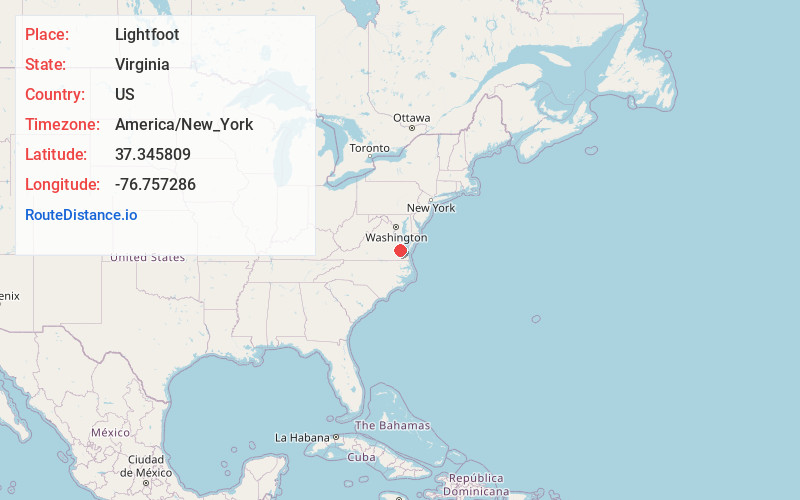
Full AddressLightfoot, VA
-
Coordinates37.3458094, -76.7572857
-
LocationLightfoot , Virginia , US
-
TimezoneAmerica/New_York
-
Current Local Time10:28:21 AM America/New_YorkMonday, June 23, 2025
-
Page Views0
About Lightfoot
Lightfoot is an unincorporated community which straddles the James City–York county border, west of Williamsburg, in the U.S. state of Virginia.

Nearby Places
Found 10 places within 50 miles

Williamsburg
5.5 mi
8.9 km
Williamsburg, VA
Get directions

Lanexa
9.6 mi
15.4 km
Lanexa, VA 23089
Get directions

Scotland
11.3 mi
18.2 km
Scotland, VA 23883
Get directions
Eastover
12.6 mi
20.3 km
Eastover, VA 23881
Get directions

West Point
13.0 mi
20.9 km
West Point, VA 23181
Get directions

Claremont
14.0 mi
22.5 km
Claremont, VA
Get directions

Surry
15.0 mi
24.1 km
Surry, VA
Get directions

Yorktown
15.5 mi
24.9 km
Yorktown, VA 23690
Get directions
Ruthville
15.7 mi
25.3 km
Ruthville, VA 23030
Get directions
New Kent
17.1 mi
27.5 km
New Kent, VA 23124
Get directions
Location Links
Local Weather
Weather Information
Coming soon!
Location Map
Static map view of Lightfoot, Virginia
Browse Places by Distance
Places within specific distances from Lightfoot
Short Distances
Long Distances
Click any distance to see all places within that range from Lightfoot. Distances shown in miles (1 mile ≈ 1.61 kilometers).