Distance to Baxter Mountain, Colorado

Calculating Your Route
Just a moment while we process your request...
Location Information
-
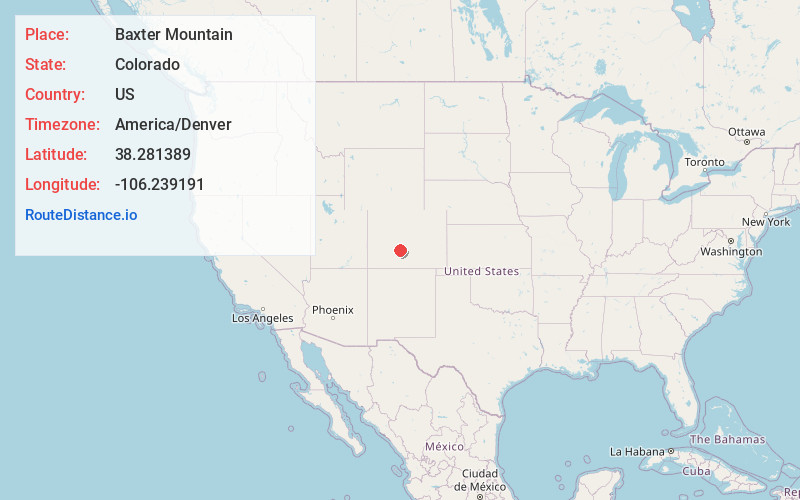
Full AddressBaxter Mountain, Colorado 81149
-
Coordinates38.2813888, -106.239191
-
LocationColorado , US
-
TimezoneAmerica/Denver
-
Current Local Time7:58:20 PM America/DenverWednesday, May 21, 2025
-
Page Views0
Nearby Places
Found 10 places within 50 miles

Bonanza
5.3 mi
8.5 km
Bonanza, CO 81155
Get directions

Saguache
14.4 mi
23.2 km
Saguache, CO 81149
Get directions

Maysville
18.0 mi
29.0 km
Maysville, CO 81201
Get directions

Poncha Springs
18.2 mi
29.3 km
Poncha Springs, CO
Get directions

San Isabel National Forest
18.7 mi
30.1 km
San Isabel National Forest, Colorado 81233
Get directions
Garfield
18.9 mi
30.4 km
Garfield, CO 81201
Get directions

Salida
21.8 mi
35.1 km
Salida, CO 81201
Get directions
Smeltertown
22.0 mi
35.4 km
Smeltertown, CO 81201
Get directions

Howard
24.5 mi
39.4 km
Howard, CO
Get directions

Moffat
26.5 mi
42.6 km
Moffat, CO
Get directions
Location Links
Local Weather
Weather Information
Coming soon!
Location Map
Static map view of Baxter Mountain, Colorado
Browse Places by Distance
Places within specific distances from Baxter Mountain
Short Distances
Long Distances
Click any distance to see all places within that range from Baxter Mountain. Distances shown in miles (1 mile ≈ 1.61 kilometers).