Distance to Moffat, Colorado

Calculating Your Route
Just a moment while we process your request...
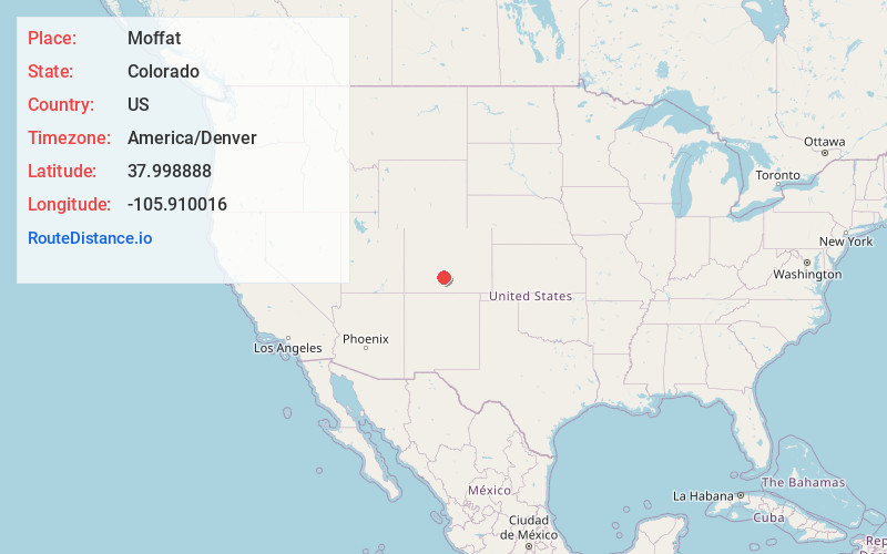
Location Information
-
Full AddressMoffat, CO
-
Coordinates37.9988882, -105.9100156
-
LocationMoffat , Colorado , US
-
TimezoneAmerica/Denver
-
Current Local Time9:35:40 PM America/DenverThursday, June 19, 2025
-
Page Views0
About Moffat
The Town of Moffat is a statutory town in Saguache County, Colorado, United States. The town population was 108 at the 2020 United States census.


Nearby Places
Found 10 places within 50 miles

Saguache
14.0 mi
22.5 km
Saguache, CO 81149
Get directions

Hooper
17.8 mi
28.6 km
Hooper, CO
Get directions

Center
20.1 mi
32.3 km
Center, CO 81125
Get directions

Westcliffe
25.9 mi
41.7 km
Westcliffe, CO 81252
Get directions

Coaldale
26.7 mi
43.0 km
Coaldale, CO
Get directions

Silver Cliff
27.1 mi
43.6 km
Silver Cliff, CO 81252
Get directions

Howard
31.1 mi
50.1 km
Howard, CO
Get directions

Monte Vista
31.8 mi
51.2 km
Monte Vista, CO 81144
Get directions

Del Norte
32.7 mi
52.6 km
Del Norte, CO 81132
Get directions
Alamosa East
36.5 mi
58.7 km
Alamosa East, CO 81101
Get directions
Location Links
Local Weather
Weather Information
Coming soon!
Location Map
Static map view of Moffat, Colorado
Browse Places by Distance
Places within specific distances from Moffat
Short Distances
Long Distances
Click any distance to see all places within that range from Moffat. Distances shown in miles (1 mile ≈ 1.61 kilometers).