Distance to Bel Marin Keys, California

Calculating Your Route
Just a moment while we process your request...
Location Information
-
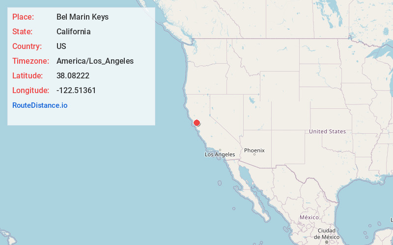
Full AddressBel Marin Keys, CA 94949
-
Coordinates38.08222, -122.51361
-
LocationBel Marin Keys , California , US
-
TimezoneAmerica/Los_Angeles
-
Current Local Time8:44:37 PM America/Los_AngelesWednesday, May 28, 2025
-
Page Views0
About Bel Marin Keys
Bel Marin Keys is an unincorporated community in Marin County, California. It lies at an elevation of 10 feet.


Nearby Places
Found 10 places within 50 miles

Black Point-Green Point
2.3 mi
3.7 km
Black Point-Green Point, CA 94945
Get directions

Novato
3.5 mi
5.6 km
Novato, CA
Get directions

Lucas Valley-Marinwood
4.3 mi
6.9 km
Lucas Valley-Marinwood, CA 94903
Get directions

Old Adobe Union Elementary School District
5.6 mi
9.0 km
Old Adobe Union Elementary School District, CA
Get directions

Santa Venetia
5.8 mi
9.3 km
Santa Venetia, CA
Get directions
Burdell
5.9 mi
9.5 km
Burdell, CA 94945
Get directions

Sears Point
5.9 mi
9.5 km
Sears Point, CA 95476
Get directions

Sleepy Hollow
6.3 mi
10.1 km
Sleepy Hollow, CA
Get directions

San Rafael
7.6 mi
12.2 km
San Rafael, CA
Get directions
Fairville
7.6 mi
12.2 km
Fairville, CA 95476
Get directions
Location Links
Local Weather
Weather Information
Coming soon!
Location Map
Static map view of Bel Marin Keys, California
Browse Places by Distance
Places within specific distances from Bel Marin Keys
Short Distances
Long Distances
Click any distance to see all places within that range from Bel Marin Keys. Distances shown in miles (1 mile ≈ 1.61 kilometers).