Distance to Bell, California

Calculating Your Route
Just a moment while we process your request...
Location Information
-
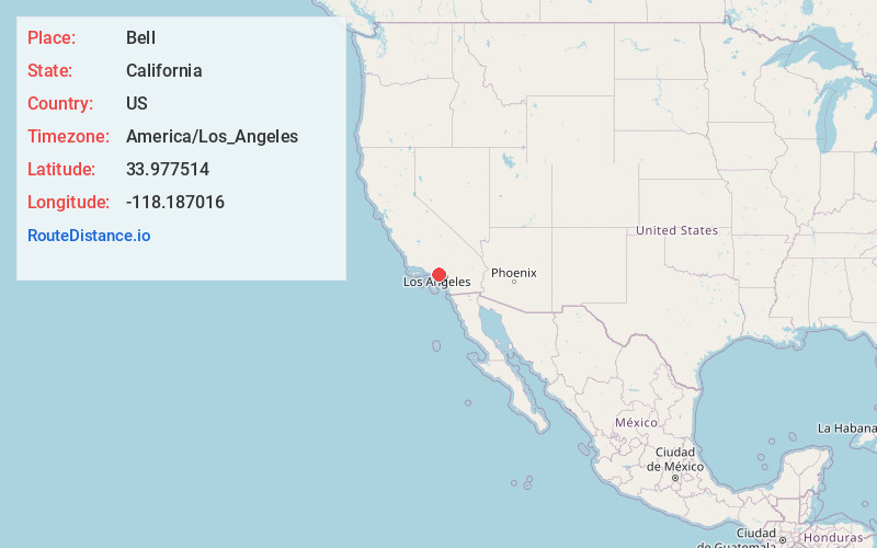
Full AddressBell, CA
-
Coordinates33.9775142, -118.1870156
-
LocationBell , California , US
-
TimezoneAmerica/Los_Angeles
-
Current Local Time6:16:13 PM America/Los_AngelesThursday, May 29, 2025
-
Website
-
Page Views0
About Bell
Bell is an incorporated city in Los Angeles County, California, near the center of the former San Antonio Township. Its population was 33,559 at the 2020 census, down from 35,477 at the 2010 census. Bell is located on the west bank of the Los Angeles River and is a suburb of the city of Los Angeles.


Nearby Places
Found 10 places within 50 miles

South Gate
2.1 mi
3.4 km
South Gate, CA 90280
Get directions

Bell Gardens
2.2 mi
3.5 km
Bell Gardens, CA 90201
Get directions

East Los Angeles
3.3 mi
5.3 km
East Los Angeles, CA
Get directions

Lynwood
3.6 mi
5.8 km
Lynwood, CA
Get directions

Downey
4.0 mi
6.4 km
Downey, CA
Get directions

Montebello
5.0 mi
8.0 km
Montebello, CA
Get directions

Compton
6.0 mi
9.7 km
Compton, CA
Get directions

Los Angeles
6.2 mi
10.0 km
Los Angeles, CA
Get directions

Paramount
6.3 mi
10.1 km
Paramount, CA
Get directions

Monterey Park
6.9 mi
11.1 km
Monterey Park, CA
Get directions
Location Links
Local Weather
Weather Information
Coming soon!
Location Map
Static map view of Bell, California
Browse Places by Distance
Places within specific distances from Bell
Short Distances
Long Distances
Click any distance to see all places within that range from Bell. Distances shown in miles (1 mile ≈ 1.61 kilometers).