Distance to Bell Springs, California

Calculating Your Route
Just a moment while we process your request...
Location Information
-
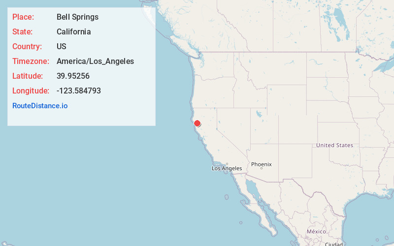
Full AddressBell Springs, CA 95454
-
Coordinates39.95256, -123.584793
-
LocationBell Springs , California , US
-
TimezoneAmerica/Los_Angeles
-
Current Local Time7:11:48 AM America/Los_AngelesThursday, June 5, 2025
-
Page Views0
About Bell Springs
Bell Springs was a town and stage coach stop on Bell Springs Road in Mendocino County, California. It was located 9 miles northeast of Leggett, at an elevation of 3622 feet.
A post office operated at Bell Springs from 1920 to 1961. The place was named in 1861 by Jim Graham for the cowbells he found at the site.


Nearby Places
Found 10 places within 50 miles

Island Mountain
7.1 mi
11.4 km
Island Mountain, CA 95454
Get directions

Leggett
9.1 mi
14.6 km
Leggett, CA 95585
Get directions

Piercy
11.2 mi
18.0 km
Piercy, CA
Get directions

Benbow
13.3 mi
21.4 km
Benbow, CA 95542
Get directions

Garberville
15.1 mi
24.3 km
Garberville, CA
Get directions

Alderpoint
15.5 mi
24.9 km
Alderpoint, CA 95511
Get directions

Redway
17.2 mi
27.7 km
Redway, CA 95560
Get directions
Fort Seward
19.0 mi
30.6 km
Fort Seward, CA 95511
Get directions

Laytonville
19.1 mi
30.7 km
Laytonville, CA
Get directions

Whitethorn
19.6 mi
31.5 km
Whitethorn, CA 95589
Get directions
Location Links
Local Weather
Weather Information
Coming soon!
Location Map
Static map view of Bell Springs, California
Browse Places by Distance
Places within specific distances from Bell Springs
Short Distances
Long Distances
Click any distance to see all places within that range from Bell Springs. Distances shown in miles (1 mile ≈ 1.61 kilometers).