Distance to Ben Hur, California

Calculating Your Route
Just a moment while we process your request...
Location Information
-
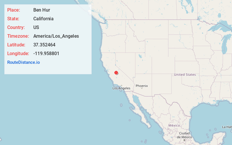
Full AddressBen Hur, CA 93653
-
Coordinates37.3524638, -119.9588014
-
NeighborhoodBen Hur
-
LocationBen Hur , California , US
-
TimezoneAmerica/Los_Angeles
-
Current Local Time6:37:55 PM America/Los_AngelesFriday, May 30, 2025
-
Page Views0
About Ben Hur
Ben Hur is an unincorporated community in Mariposa County, California. It is located 9 miles south of Mariposa.
The community was established as a cattle ranch by Morgan Quick in 1859 and was originally called the Rancheria Place; the ranch would be owned and operated by the Quick family for six generations.
Nearby Places
Found 10 places within 50 miles

Bootjack
8.7 mi
14.0 km
Bootjack, CA 95338
Get directions

Catheys Valley
9.4 mi
15.1 km
Catheys Valley, CA
Get directions

Mariposa
9.7 mi
15.6 km
Mariposa, CA 95338
Get directions

Mt Bullion
11.6 mi
18.7 km
Mt Bullion, CA 95338
Get directions

Ahwahnee
12.8 mi
20.6 km
Ahwahnee, CA
Get directions
Nipinnawasee
12.9 mi
20.8 km
Nipinnawasee, CA 93601
Get directions

Midpines
13.9 mi
22.4 km
Midpines, CA
Get directions

Yosemite Lakes
15.1 mi
24.3 km
Yosemite Lakes, CA
Get directions

Coarsegold
15.5 mi
24.9 km
Coarsegold, CA 93614
Get directions

Oakhurst
17.1 mi
27.5 km
Oakhurst, CA
Get directions
Location Links
Local Weather
Weather Information
Coming soon!
Location Map
Static map view of Ben Hur, California
Browse Places by Distance
Places within specific distances from Ben Hur
Short Distances
Long Distances
Click any distance to see all places within that range from Ben Hur. Distances shown in miles (1 mile ≈ 1.61 kilometers).