Distance to Benbow, Virginia

Calculating Your Route
Just a moment while we process your request...
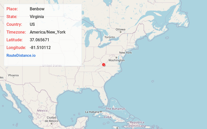
Location Information
-
Full AddressBenbow, VA 24651
-
Coordinates37.0656708, -81.5101117
-
LocationVirginia , US
-
TimezoneAmerica/New_York
-
Current Local Time1:16:33 AM America/New_YorkWednesday, June 25, 2025
-
Page Views0
Nearby Places
Found 10 places within 50 miles

Tazewell
3.4 mi
5.5 km
Tazewell, VA
Get directions

Asberrys
4.1 mi
6.6 km
Asberrys, VA 24377
Get directions
Wittens Fort
5.0 mi
8.0 km
Wittens Fort, VA 24651
Get directions
River Jack
5.0 mi
8.0 km
River Jack, Tazewell, VA 24630
Get directions
Drytown
5.7 mi
9.2 km
Drytown, Tazewell, VA 24630
Get directions
Maxwell
6.8 mi
10.9 km
Maxwell, VA 24651
Get directions
Wittens Mills
7.1 mi
11.4 km
Wittens Mills, VA 24630
Get directions
Gratton
7.1 mi
11.4 km
Gratton, VA
Get directions
Rourkes Gap
7.6 mi
12.2 km
Rourkes Gap, VA 24630
Get directions
Cliffield
8.4 mi
13.5 km
Cliffield, VA 24637
Get directions
Location Links
Local Weather
Weather Information
Coming soon!
Location Map
Static map view of Benbow, Virginia
Browse Places by Distance
Places within specific distances from Benbow
Short Distances
Long Distances
Click any distance to see all places within that range from Benbow. Distances shown in miles (1 mile ≈ 1.61 kilometers).