Distance to Maxwell, Virginia

Calculating Your Route
Just a moment while we process your request...
Location Information
-
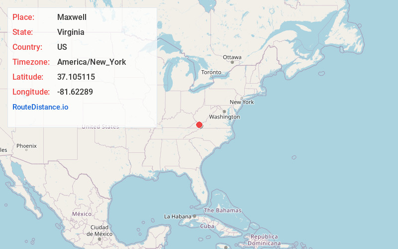
Full AddressMaxwell, VA 24651
-
Coordinates37.1051147, -81.6228897
-
LocationMaxwell , Virginia , US
-
TimezoneAmerica/New_York
-
Current Local Time9:06:33 AM America/New_YorkMonday, June 23, 2025
-
Page Views0
Nearby Places
Found 10 places within 50 miles

Bandy
5.0 mi
8.0 km
Bandy, VA 24602
Get directions

Pounding Mill
5.2 mi
8.4 km
Pounding Mill, VA 24637
Get directions

Tazewell
5.7 mi
9.2 km
Tazewell, VA
Get directions
Amonate
6.0 mi
9.7 km
Amonate, VA
Get directions
Maiden Spring
6.2 mi
10.0 km
Maiden Spring, VA 24637
Get directions

Cedar Bluff
7.6 mi
12.2 km
Cedar Bluff, VA
Get directions

Claypool Hill
7.7 mi
12.4 km
Claypool Hill, VA
Get directions
Drytown
7.8 mi
12.6 km
Drytown, Tazewell, VA 24630
Get directions
Asberrys
8.0 mi
12.9 km
Asberrys, VA 24377
Get directions

Tannersville
9.1 mi
14.6 km
Tannersville, VA 24377
Get directions
Location Links
Local Weather
Weather Information
Coming soon!
Location Map
Static map view of Maxwell, Virginia
Browse Places by Distance
Places within specific distances from Maxwell
Short Distances
Long Distances
Click any distance to see all places within that range from Maxwell. Distances shown in miles (1 mile ≈ 1.61 kilometers).