Distance to Benton Heights, Michigan

Calculating Your Route
Just a moment while we process your request...
Location Information
-
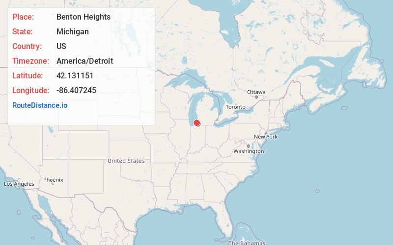
Full AddressBenton Heights, MI 49022
-
Coordinates42.1311507, -86.4072446
-
LocationBenton Heights , Michigan , US
-
TimezoneAmerica/Detroit
-
Current Local Time1:45:03 PM America/DetroitSunday, May 25, 2025
-
Page Views0
About Benton Heights
Benton Heights is an unincorporated community in Berrien County in the U.S. state of Michigan. It is also a census-designated place for statistical purposes without any legal status as an incorporated municipality. Per the 2020 Census, the population was 3,652.
Nearby Places
Found 10 places within 50 miles

Benton Harbor
2.6 mi
4.2 km
Benton Harbor, MI
Get directions

Fair Plain
3.9 mi
6.3 km
Fair Plain, MI 49022
Get directions

St Joseph
4.9 mi
7.9 km
St Joseph, MI 49085
Get directions

Dowagiac
18.4 mi
29.6 km
Dowagiac, MI 49047
Get directions

South Haven
20.0 mi
32.2 km
South Haven, MI 49090
Get directions

Buchanan
21.1 mi
34.0 km
Buchanan, MI 49107
Get directions

Niles
22.3 mi
35.9 km
Niles, MI 49120
Get directions

Granger
30.2 mi
48.6 km
Granger, IN
Get directions

Notre Dame
31.0 mi
49.9 km
Notre Dame, IN 46556
Get directions

South Bend
32.4 mi
52.1 km
South Bend, IN
Get directions
Location Links
Local Weather
Weather Information
Coming soon!
Location Map
Static map view of Benton Heights, Michigan
Browse Places by Distance
Places within specific distances from Benton Heights
Short Distances
Long Distances
Click any distance to see all places within that range from Benton Heights. Distances shown in miles (1 mile ≈ 1.61 kilometers).