Distance to Bessville, Missouri

Calculating Your Route
Just a moment while we process your request...
Location Information
-
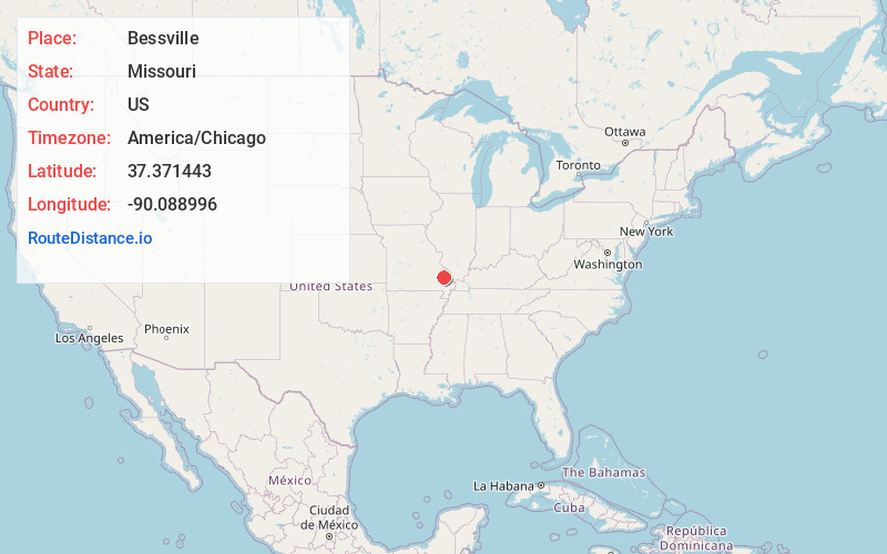
Full AddressBessville, Crooked Creek Township, MO 63751
-
Coordinates37.3714432, -90.0889964
-
LocationCrooked Creek Township , Missouri , US
-
TimezoneAmerica/Chicago
-
Current Local Time10:31:12 PM America/ChicagoTuesday, May 27, 2025
-
Page Views0
About Bessville
Bessville is an unincorporated community in the southern part of Crooked Creek Township in eastern Bollinger County, Missouri, United States. The community lies on the east bank of Crooked Creek and at the end of Missouri Route OO.
Nearby Places
Found 10 places within 50 miles

Grisham
0.9 mi
1.4 km
Grisham, Crooked Creek Township, MO 63655
Get directions
Shrum
4.1 mi
6.6 km
Shrum, Crooked Creek Township, MO 63764
Get directions
Glenallen
5.0 mi
8.0 km
Glenallen, MO 63751
Get directions

Marquand
5.9 mi
9.5 km
Marquand, MO 63655
Get directions

Grassy
7.9 mi
12.7 km
Grassy, MO 63655
Get directions

Marble Hill
7.9 mi
12.7 km
Marble Hill, MO 63764
Get directions
Allbright
8.2 mi
13.2 km
Allbright, MO 63655
Get directions
Scopus
9.4 mi
15.1 km
Scopus, MO 63766
Get directions
Patton
9.8 mi
15.8 km
Patton, MO 63662
Get directions
Cascade
11.1 mi
17.9 km
Cascade, MO 63655
Get directions
Location Links
Local Weather
Weather Information
Coming soon!
Location Map
Static map view of Bessville, Missouri
Browse Places by Distance
Places within specific distances from Bessville
Short Distances
Long Distances
Click any distance to see all places within that range from Bessville. Distances shown in miles (1 mile ≈ 1.61 kilometers).