Distance to Shrum, Missouri

Calculating Your Route
Just a moment while we process your request...
Location Information
-
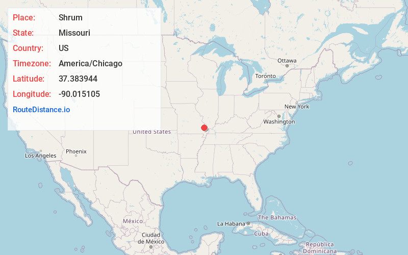
Full AddressShrum, Crooked Creek Township, MO 63764
-
Coordinates37.383944, -90.0151049
-
LocationCrooked Creek Township , Missouri , US
-
TimezoneAmerica/Chicago
-
Current Local Time9:28:26 AM America/ChicagoMonday, June 23, 2025
-
Page Views0
About Shrum
Shrum is an unincorporated community in the southeastern part of Crooked Creek Township in Bollinger County, Missouri, United States. Shrum, which lies 5 1/2 miles east of Bessville, was established in 1900, and the community was named for a local landowner, Nicholas Shrum.
Nearby Places
Found 10 places within 50 miles

Glenallen
4.7 mi
7.6 km
Glenallen, MO 63751
Get directions

Marble Hill
5.9 mi
9.5 km
Marble Hill, MO 63764
Get directions
Patton
8.0 mi
12.9 km
Patton, MO 63662
Get directions

Marquand
9.0 mi
14.5 km
Marquand, MO 63655
Get directions
Sedgewickville
10.9 mi
17.5 km
Sedgewickville, MO 63743
Get directions

Burfordville
11.5 mi
18.5 km
Burfordville, MO
Get directions

Millersville
12.3 mi
19.8 km
Millersville, MO
Get directions
Kurreville
12.4 mi
20.0 km
Kurreville, Whitewater Township, MO 63766
Get directions
Sank
14.7 mi
23.7 km
Sank, Liberty Township, MO 63730
Get directions
Drum
15.1 mi
24.3 km
Drum, Liberty Township, MO 63785
Get directions
Location Links
Local Weather
Weather Information
Coming soon!
Location Map
Static map view of Shrum, Missouri
Browse Places by Distance
Places within specific distances from Shrum
Short Distances
Long Distances
Click any distance to see all places within that range from Shrum. Distances shown in miles (1 mile ≈ 1.61 kilometers).