Distance to Scopus, Missouri

Calculating Your Route
Just a moment while we process your request...
Location Information
-
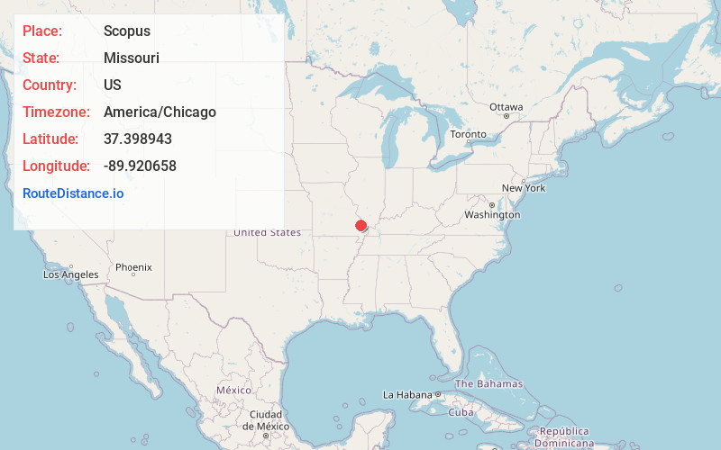
Full AddressScopus, MO 63766
-
Coordinates37.398943, -89.9206576
-
LocationScopus , Missouri , US
-
TimezoneAmerica/Chicago
-
Current Local Time6:45:25 AM America/ChicagoFriday, June 20, 2025
-
Page Views0
About Scopus
Scopus is an unincorporated community in central Bollinger County in Southeast Missouri, United States. It is located approximately nine miles northeast of Marble Hill at the intersection of Highway B and Highway M.
Scopus is part of the Cape Girardeau-Jackson, MO-IL Metropolitan Statistical Area.
Nearby Places
Found 10 places within 50 miles

Reynolds Ford
5.0 mi
8.0 km
Reynolds Ford, MO 63766
Get directions
Gravel Hill
5.3 mi
8.5 km
Gravel Hill, Kinder Township, MO 63764
Get directions
Shrum
5.3 mi
8.5 km
Shrum, Crooked Creek Township, MO 63764
Get directions

Burfordville
6.6 mi
10.6 km
Burfordville, MO
Get directions

Marble Hill
7.0 mi
11.3 km
Marble Hill, MO 63764
Get directions

Millersville
7.0 mi
11.3 km
Millersville, MO
Get directions
Kurreville
7.6 mi
12.2 km
Kurreville, Whitewater Township, MO 63766
Get directions
Sedgewickville
8.1 mi
13.0 km
Sedgewickville, MO 63743
Get directions
Glenallen
8.2 mi
13.2 km
Glenallen, MO 63751
Get directions
Patton
8.6 mi
13.8 km
Patton, MO 63662
Get directions
Location Links
Local Weather
Weather Information
Coming soon!
Location Map
Static map view of Scopus, Missouri
Browse Places by Distance
Places within specific distances from Scopus
Short Distances
Long Distances
Click any distance to see all places within that range from Scopus. Distances shown in miles (1 mile ≈ 1.61 kilometers).