Distance to Beulah, North Carolina

Calculating Your Route
Just a moment while we process your request...
Location Information
-
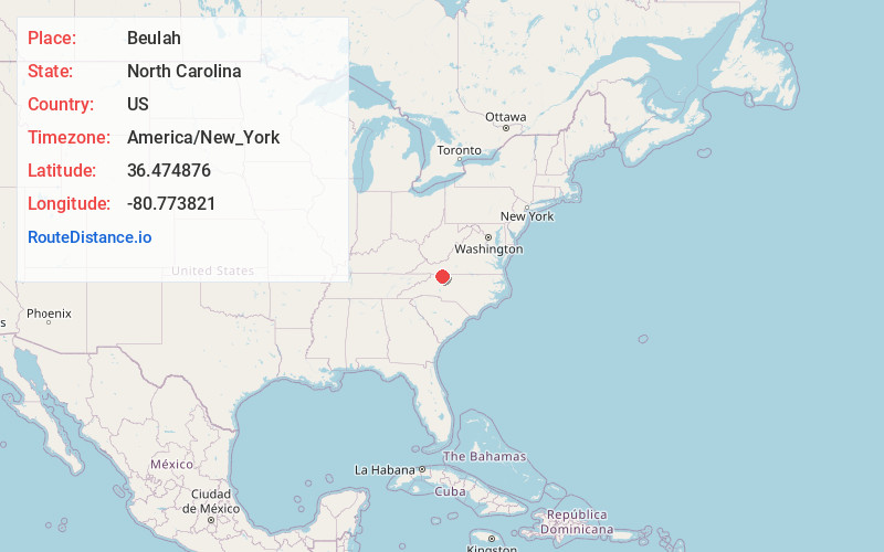
Full AddressBeulah, NC 27024
-
Coordinates36.4748759, -80.7738212
-
LocationBeulah , North Carolina , US
-
TimezoneAmerica/New_York
-
Current Local Time6:46:08 PM America/New_YorkTuesday, June 17, 2025
-
Page Views0
About Beulah
Bottom is an unincorporated community in the Stewarts Creek Township of northern Surry County, North Carolina, United States. The community is more commonly known as Beulah locally and is centered on the intersection of Beulah Road/Beulah Church Road and North Carolina Highway 89.


Nearby Places
Found 10 places within 50 miles

Pine Ridge
3.6 mi
5.8 km
Pine Ridge, NC 27030
Get directions
Ladonia
3.6 mi
5.8 km
Ladonia, NC 27024
Get directions

Dobson
6.2 mi
10.0 km
Dobson, NC
Get directions

Lowgap
6.3 mi
10.1 km
Lowgap, NC 27024
Get directions
Toast
7.9 mi
12.7 km
Toast, NC 27030
Get directions
White Plains
8.1 mi
13.0 km
White Plains, NC 27030
Get directions
Union Hill
8.1 mi
13.0 km
Union Hill, NC 27017
Get directions
Mountain Park
8.3 mi
13.4 km
Mountain Park, NC 28676
Get directions

Devotion
8.5 mi
13.7 km
Devotion, NC 27017
Get directions
Low Gap
9.4 mi
15.1 km
Low Gap, VA 24333
Get directions
Location Links
Local Weather
Weather Information
Coming soon!
Location Map
Static map view of Beulah, North Carolina
Browse Places by Distance
Places within specific distances from Beulah
Short Distances
Long Distances
Click any distance to see all places within that range from Beulah. Distances shown in miles (1 mile ≈ 1.61 kilometers).