Distance to Beverly, Missouri

Calculating Your Route
Just a moment while we process your request...
Location Information
-
Full AddressBeverly, Fair Township, MO 64079
-
Coordinates39.3680547, -94.8671847
-
LocationFair Township , Missouri , US
-
TimezoneAmerica/Chicago
-
Current Local Time11:50:17 AM America/ChicagoSunday, June 1, 2025
-
Page Views0
Nearby Places
Found 10 places within 50 miles

Weston
3.5 mi
5.6 km
Weston, MO 64098
Get directions

East Leavenworth
3.8 mi
6.1 km
East Leavenworth, Lee Township, MO 64079
Get directions

Tracy
4.0 mi
6.4 km
Tracy, MO 64079
Get directions

Platte City
4.5 mi
7.2 km
Platte City, MO 64079
Get directions

Leavenworth
5.1 mi
8.2 km
Leavenworth, KS
Get directions
West Platte County R-II School District
5.9 mi
9.5 km
West Platte County R-II School District, MO
Get directions
Bain City
6.1 mi
9.8 km
Bain City, Leavenworth, KS 66048
Get directions
Farley
6.2 mi
10.0 km
Farley, MO
Get directions
Cochrane
7.0 mi
11.3 km
Cochrane, KS 66043
Get directions
Lansing
8.4 mi
13.5 km
Lansing, KS
Get directions
Location Links
Local Weather
Weather Information
Coming soon!
Location Map
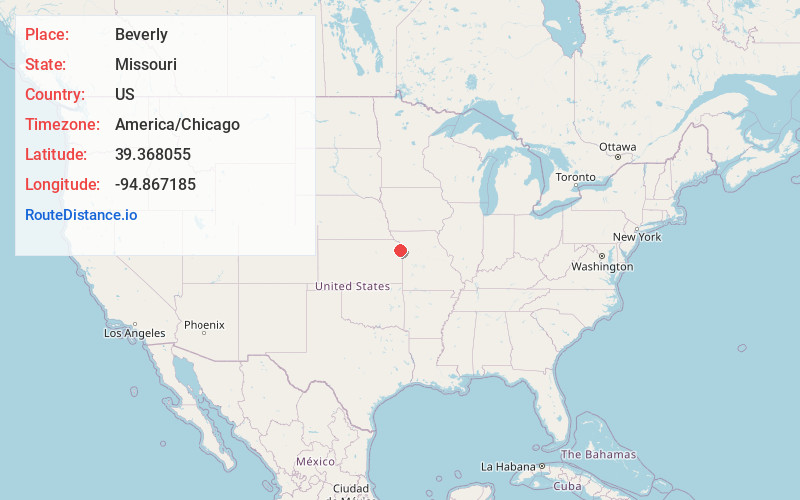
Static map view of Beverly, Missouri
Browse Places by Distance
Places within specific distances from Beverly
Short Distances
Long Distances
Click any distance to see all places within that range from Beverly. Distances shown in miles (1 mile ≈ 1.61 kilometers).