Distance to Big Bend, California

Calculating Your Route
Just a moment while we process your request...
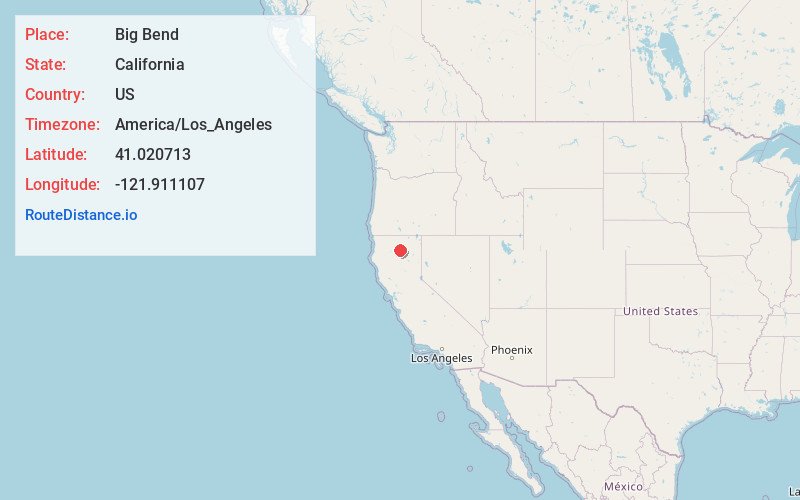
Location Information
-
Full AddressBig Bend, CA 96011
-
Coordinates41.0207132, -121.911107
-
LocationBig Bend , California , US
-
TimezoneAmerica/Los_Angeles
-
Current Local Time12:37:45 AM America/Los_AngelesFriday, June 20, 2025
-
Page Views0
About Big Bend
Big Bend of the Madesi Valley is the indigenous homeland of the Madesi tribe, located in Shasta County, northeastern California. It is named for a major change in course of the Pit River.
Its population is 79 as of the 2020 census, down from 102 from the 2010 census.


Nearby Places
Found 10 places within 50 miles

Burney
16.2 mi
26.1 km
Burney, CA 96013
Get directions

Johnson Park
16.5 mi
26.6 km
Johnson Park, CA 96013
Get directions

Cassel
19.8 mi
31.9 km
Cassel, CA 96016
Get directions

McCloud
20.1 mi
32.3 km
McCloud, CA 96057
Get directions

Castella
22.6 mi
36.4 km
Castella, CA
Get directions

Dunsmuir
22.8 mi
36.7 km
Dunsmuir, CA
Get directions

Oak Run
24.0 mi
38.6 km
Oak Run, CA 96069
Get directions

Fall River Mills
24.7 mi
39.8 km
Fall River Mills, CA 96028
Get directions

Lakehead
26.1 mi
42.0 km
Lakehead, CA 96051
Get directions

McArthur
26.8 mi
43.1 km
McArthur, CA
Get directions
Location Links
Local Weather
Weather Information
Coming soon!
Location Map
Static map view of Big Bend, California
Browse Places by Distance
Places within specific distances from Big Bend
Short Distances
Long Distances
Click any distance to see all places within that range from Big Bend. Distances shown in miles (1 mile ≈ 1.61 kilometers).